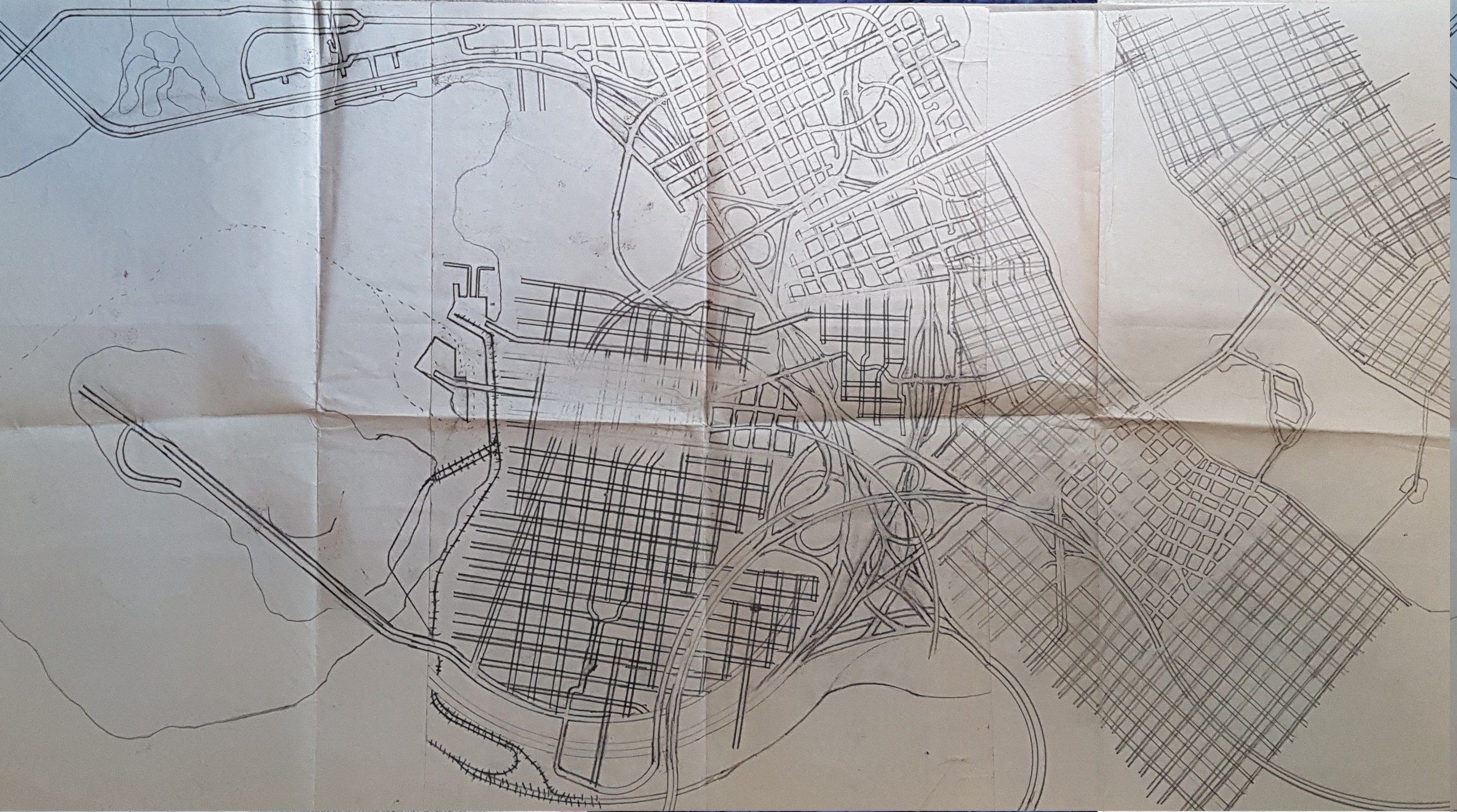
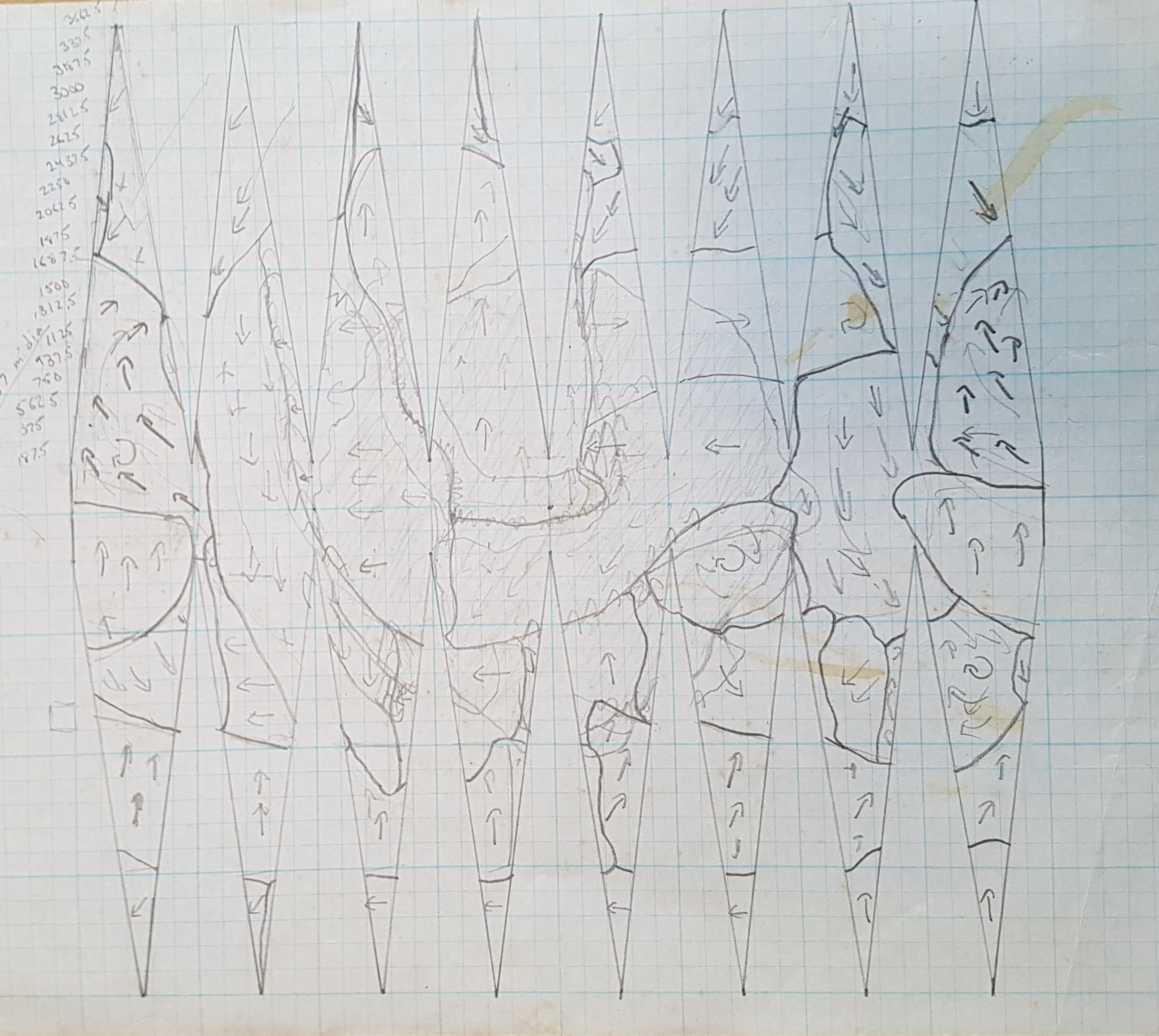
This is just a bunch of grids and freeways in the style I developed in late elementary school: draw parallel lines and then painstakingly erase all the intersections so you get that nice street-width effect. Maybe 1975?
My Paper Geofiction #22
My Paper Geofiction #21
My Paper Geofiction #20
My Paper Geofiction #19
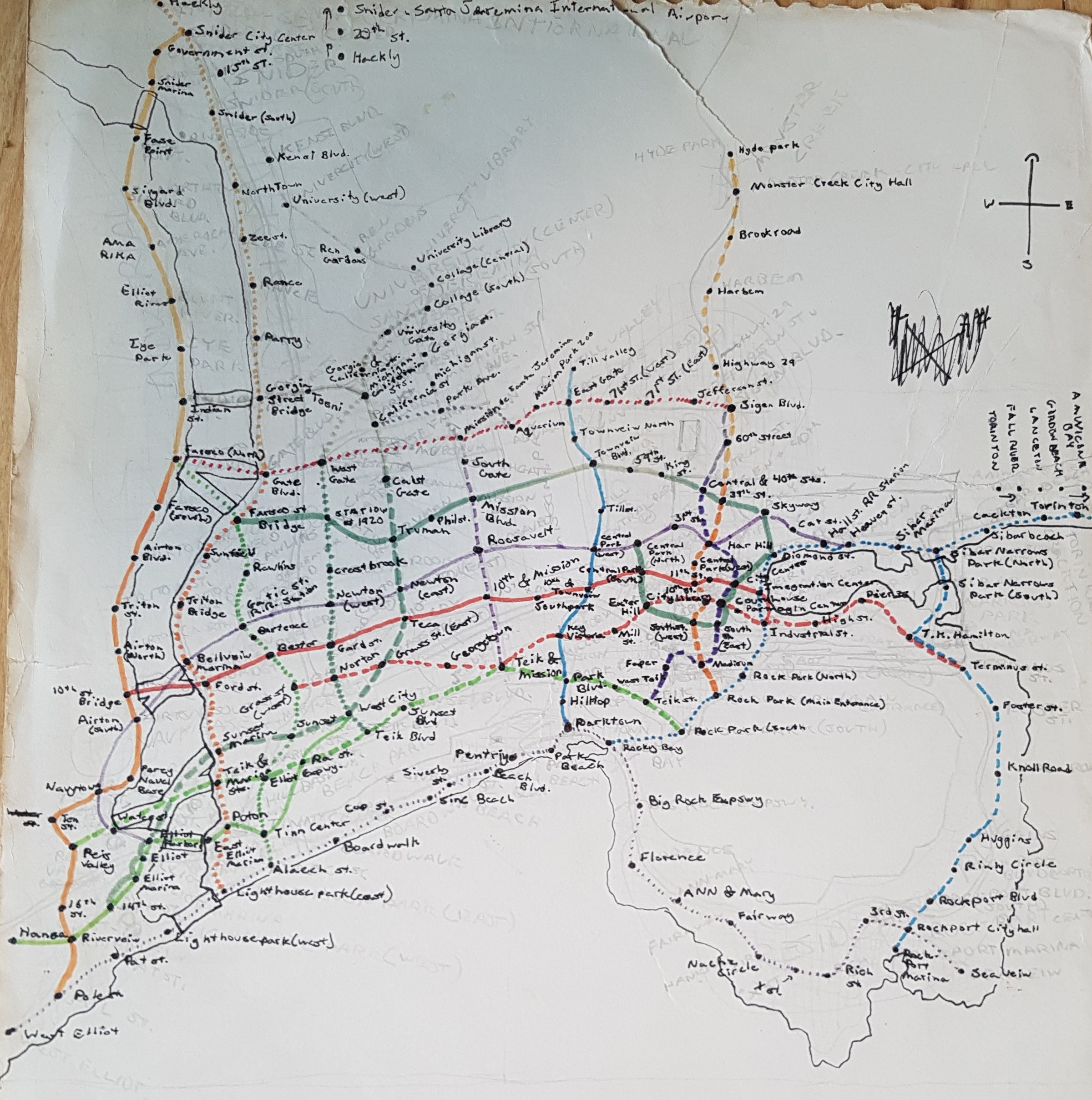
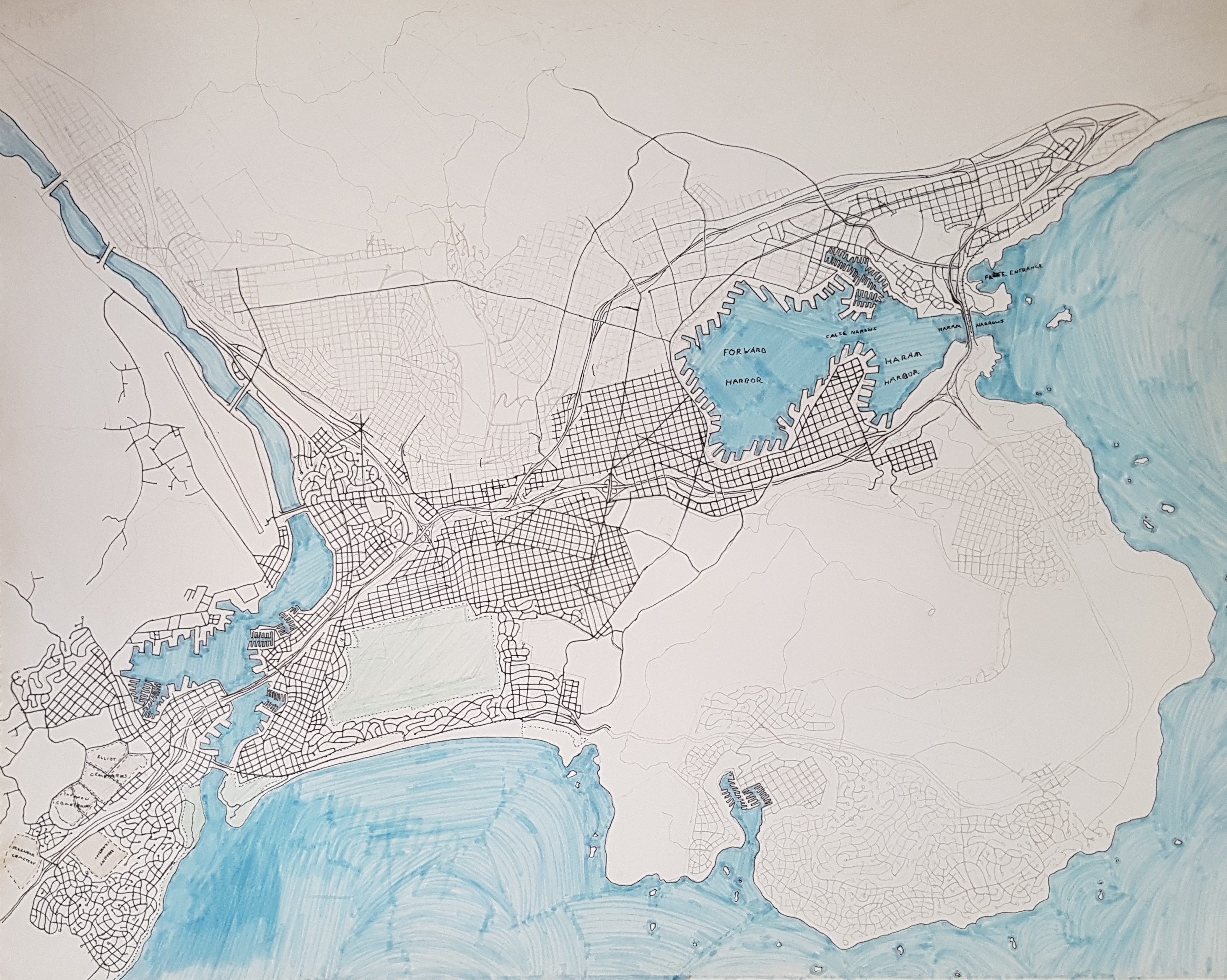
This is another map of Santa Jimena, which I posted yesterday. This time its focused on the subway system, which was quite ambitious, as you can see. I drew this map before the one posted yesterday – in maybe 1979. I expect the incomplete one posted yesterday would have eventually served as the basis for a more refined subway map system if I hadn’t decided to change the city into a Mahhalian one.
My Paper Geofiction #18
My Paper Geofiction #17
My Paper Geofiction #16
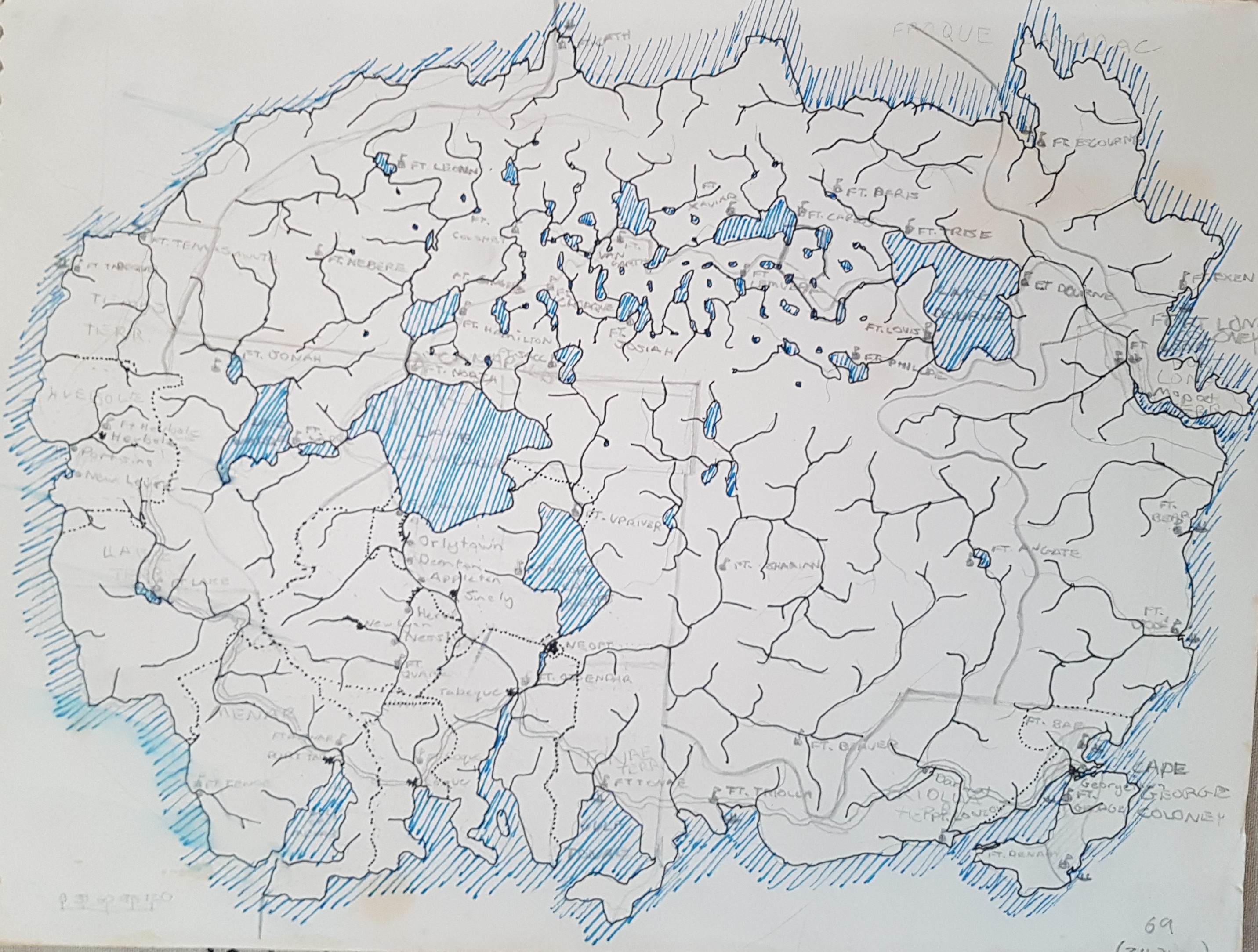
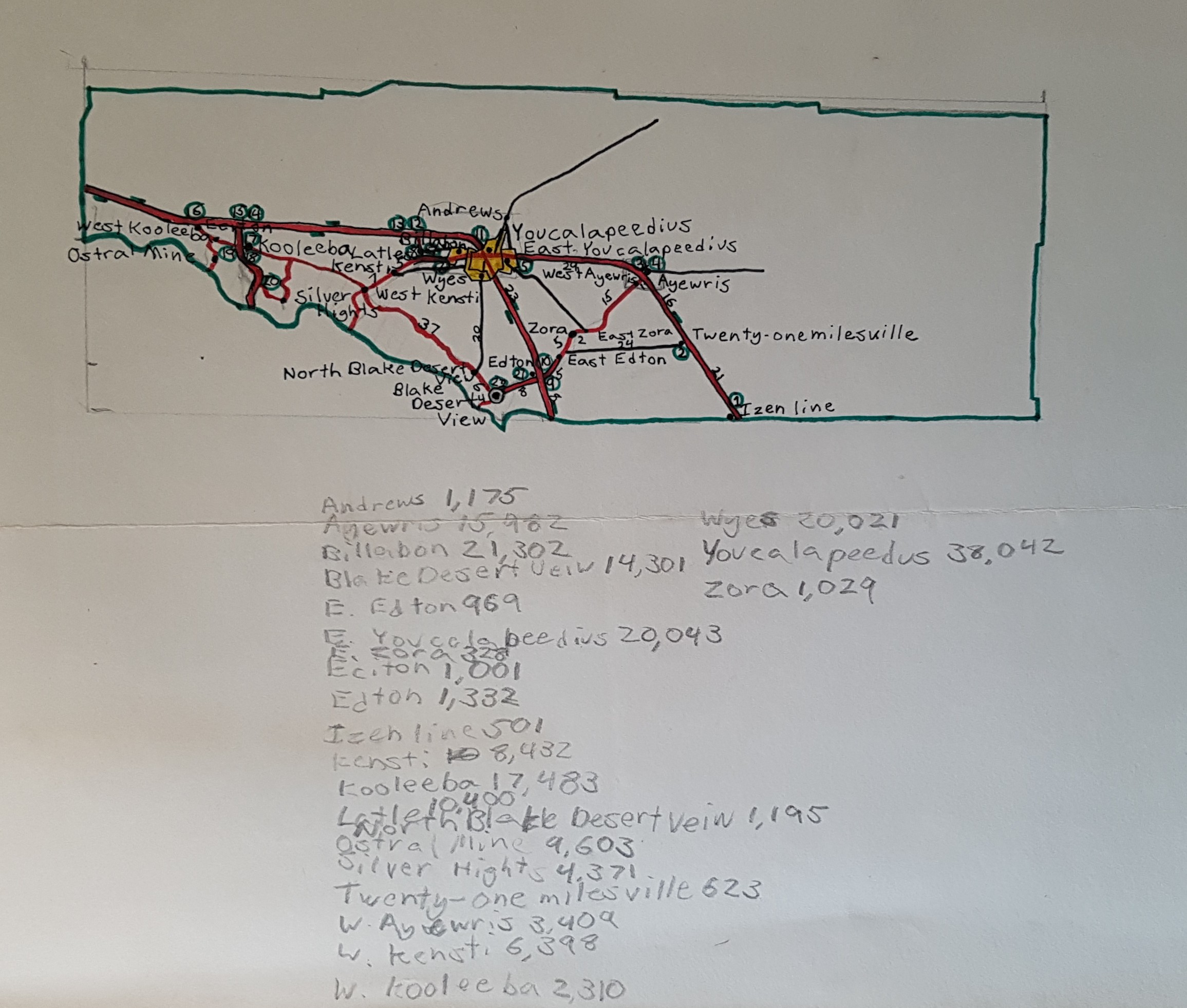
This is a map of Youcalapeedus County, in some imaginary intermountain state. I drew this when I was 10 years old, I think. Maybe 11. I had worked out the population for each of the towns. The area is high desert, perhaps based on one too many family trips driving across Nevada.
I like the name Twenty-one-milesville.
My Paper Geofiction #15
Best of Arhet, Week 13
The best mapping in Arhet for this week.
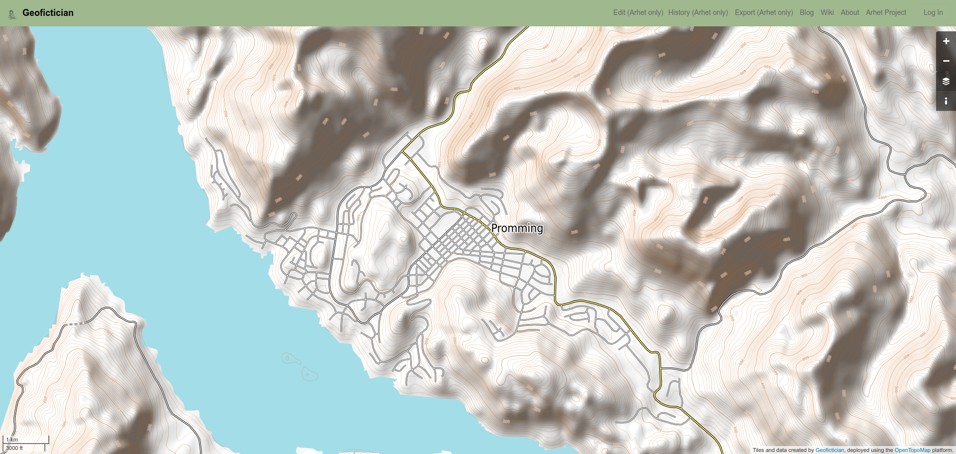
User JoJoBa, here.
This was in response to an informal “Arhet Challenge” I issued in the Discord channel. Perhaps I should do something more formal, occasionally?
Music to map by: Charanjit Singh, “Raga Bhairav.”
