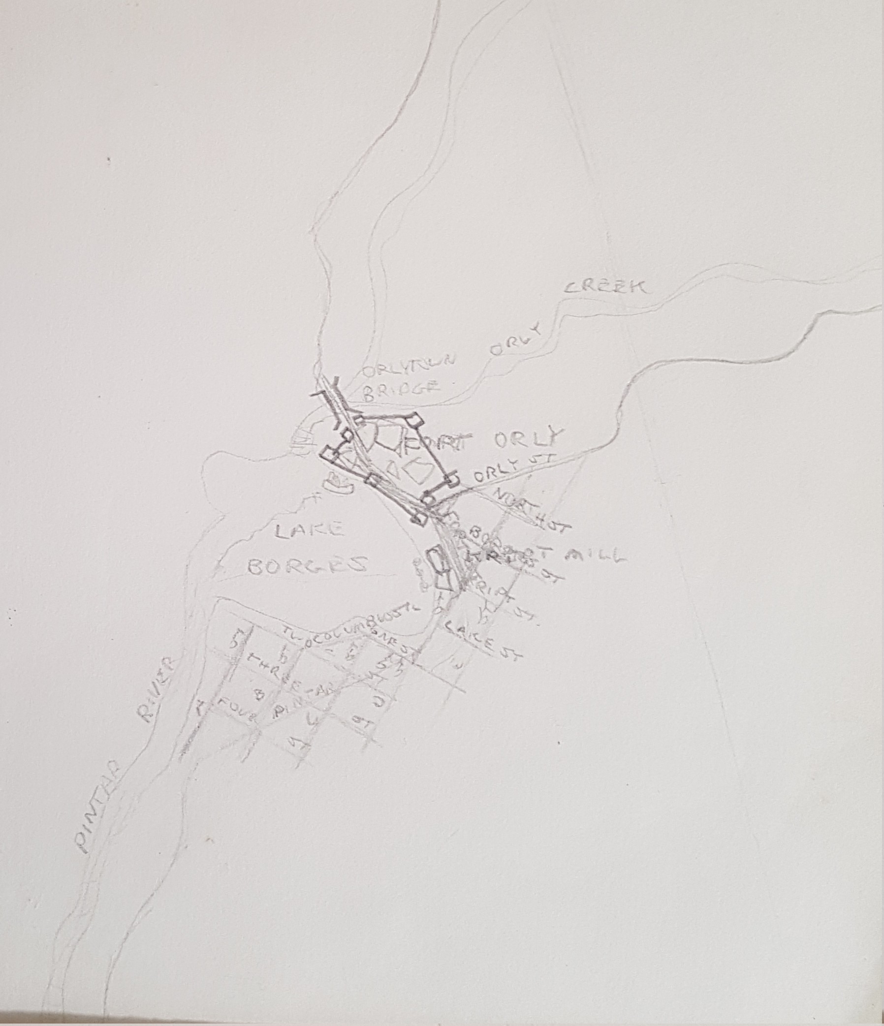
This is a very preliminary sketch of a USA-style town, somewhere in “parallel-California,” named “Fort Orly.” I’m going to guess I drew it around 1979. I had just discovered the short stories of Jorge Luís Borges, so you see a “Lake Borges” here.
Month: April 2020
My Paper Geofiction #3
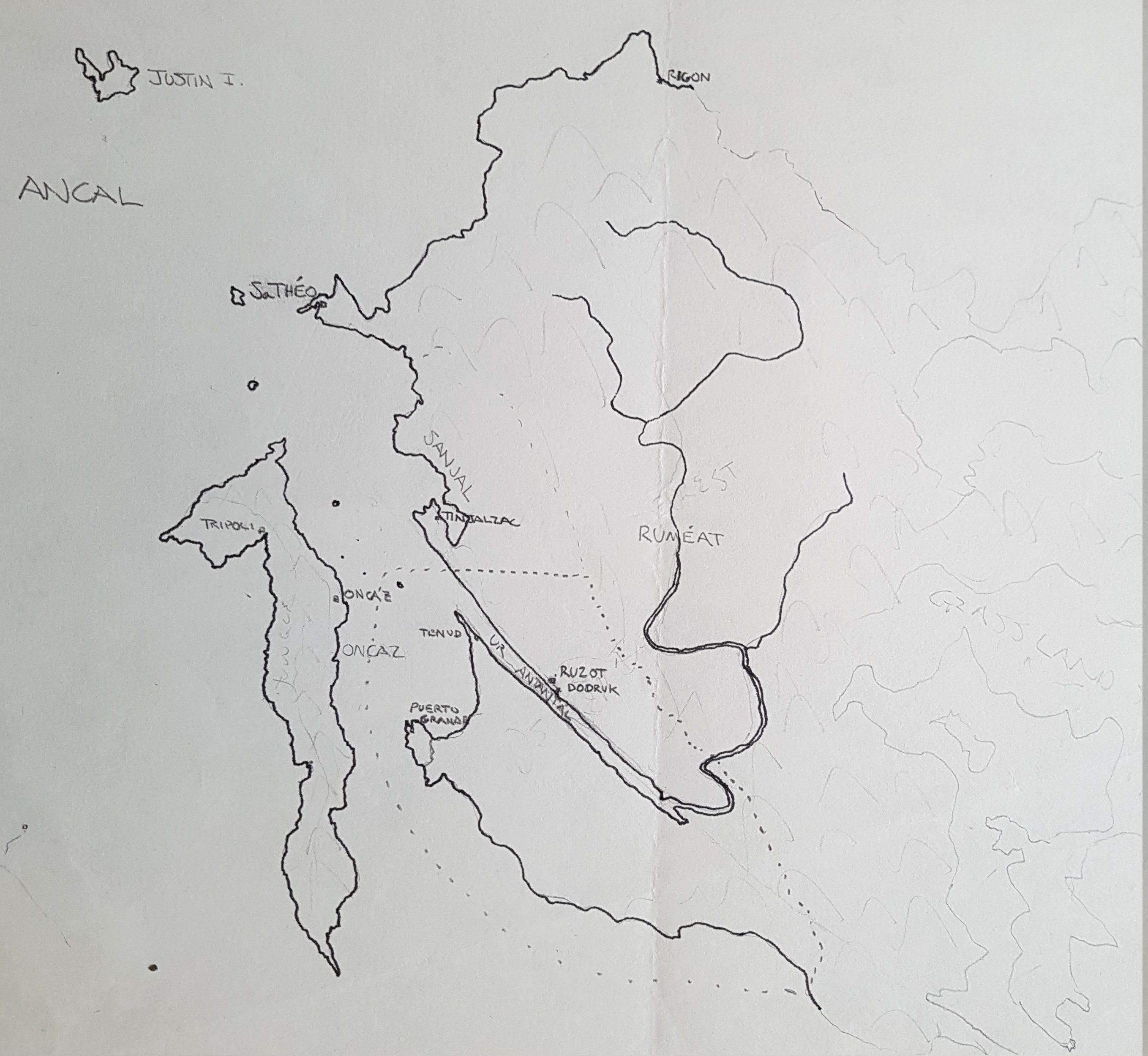
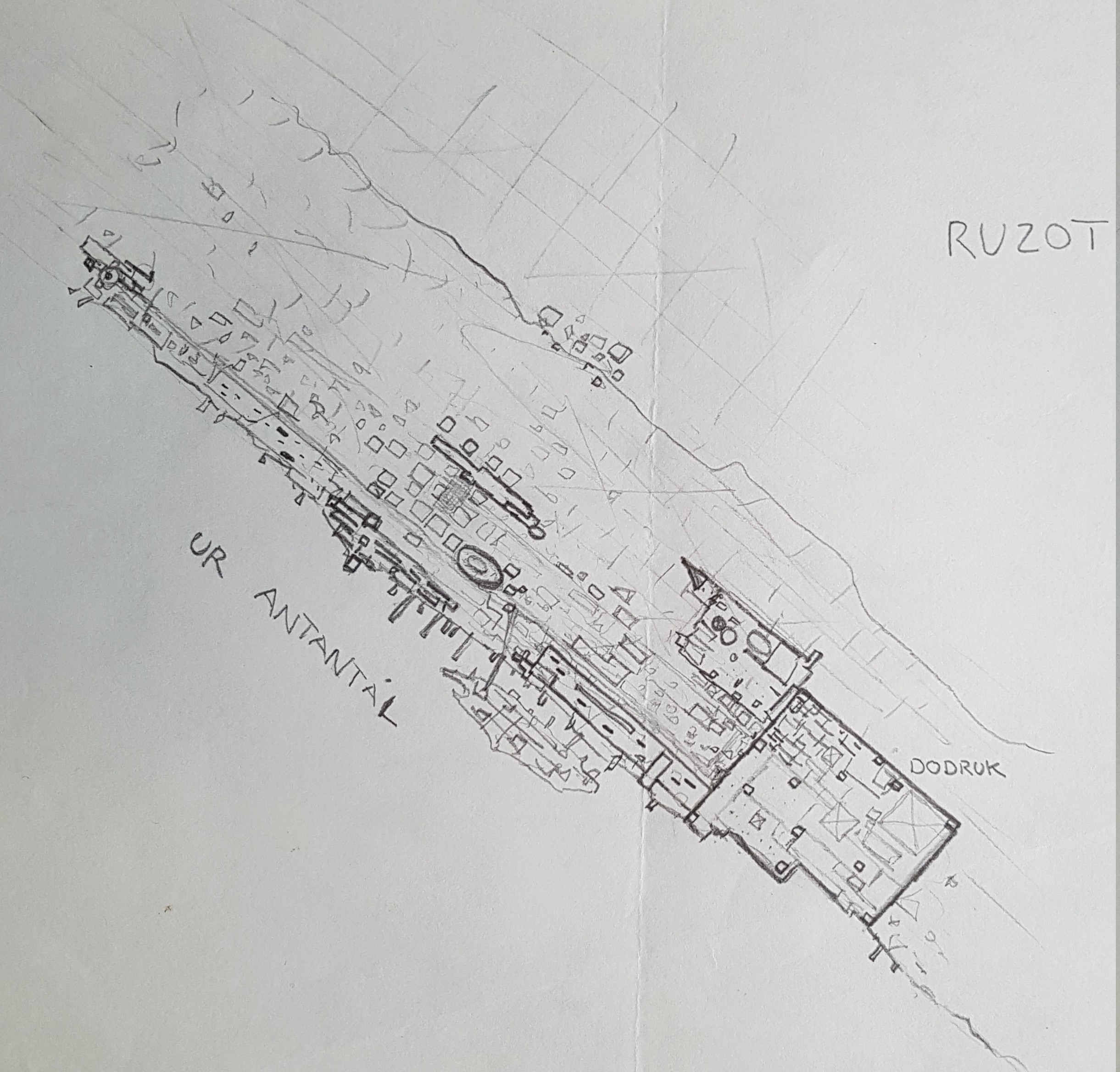
This is one of the many incarnations of what I know in my mind as the “Pas Taons.” This later became integrated to Mahhal lore as the site for the city of Derindonderak, but here it is still just the Pas Taons, and interestingly, I seem to have allowed some parallel-earth Spaniards to colonize the area (note the cities of Tripoli and Puerto Grande).
I suspect this is from when I was in high school. Maybe around 1982.
My Paper Geofiction #2
My Paper Geofiction #1
As I’ve mentioned before, I’ve been drawing maps on paper since I was 6 or 7 years old (and houseplans, and schematics, and planetary systems, and many other things, too).
I’ve found my old, main stash of these drawings, all the ones I’ve saved over the years. So I’ve decided to post one “paper geofiction” every day.
Just as something to do.
I don’t always know exactly when I drew something. I’ll give a guess with each one.
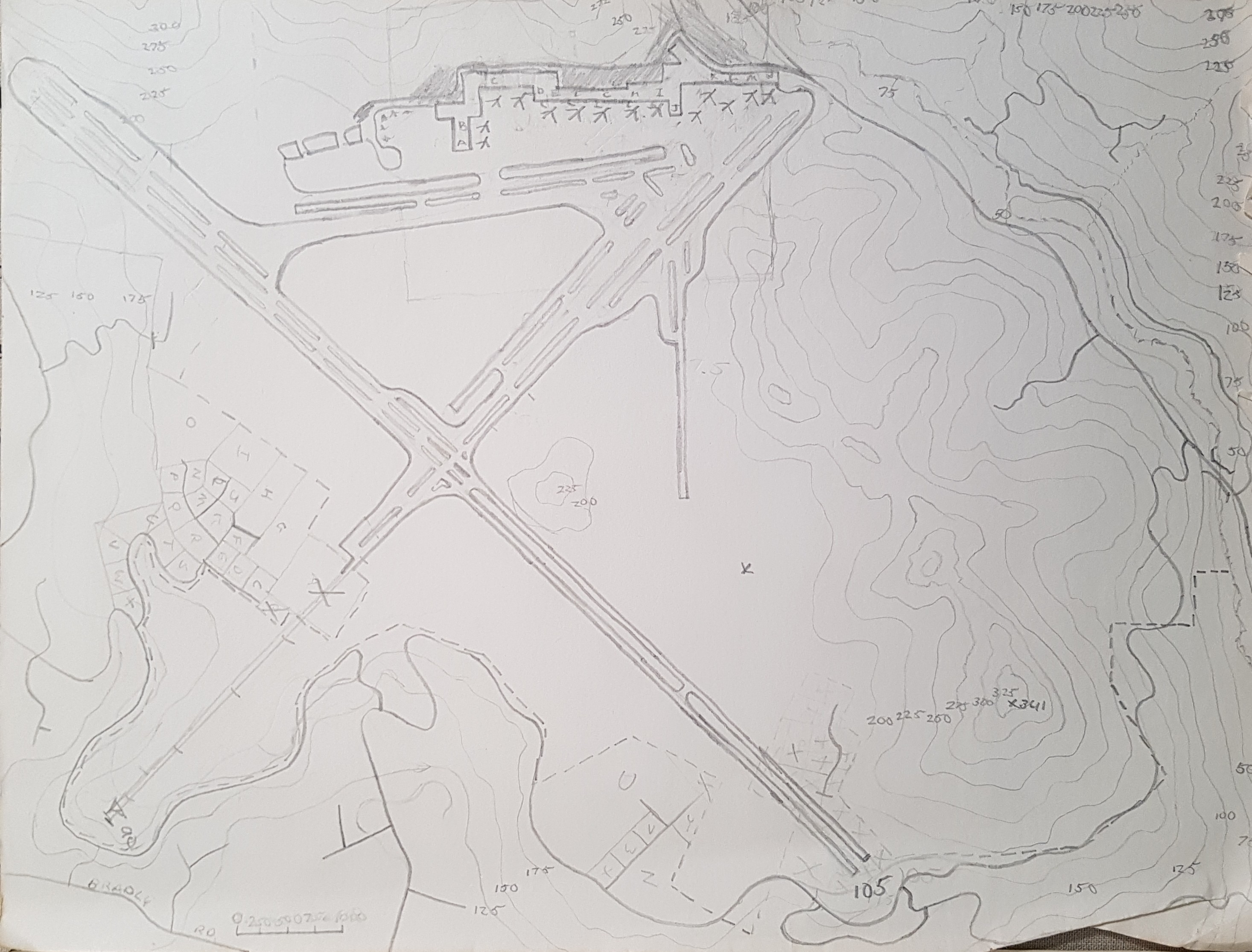
This one is an airport (or spaceport), with contours(!), drawn in 1981.
Best of Arhet, Week 11
The best mapping in Arhet for this week.
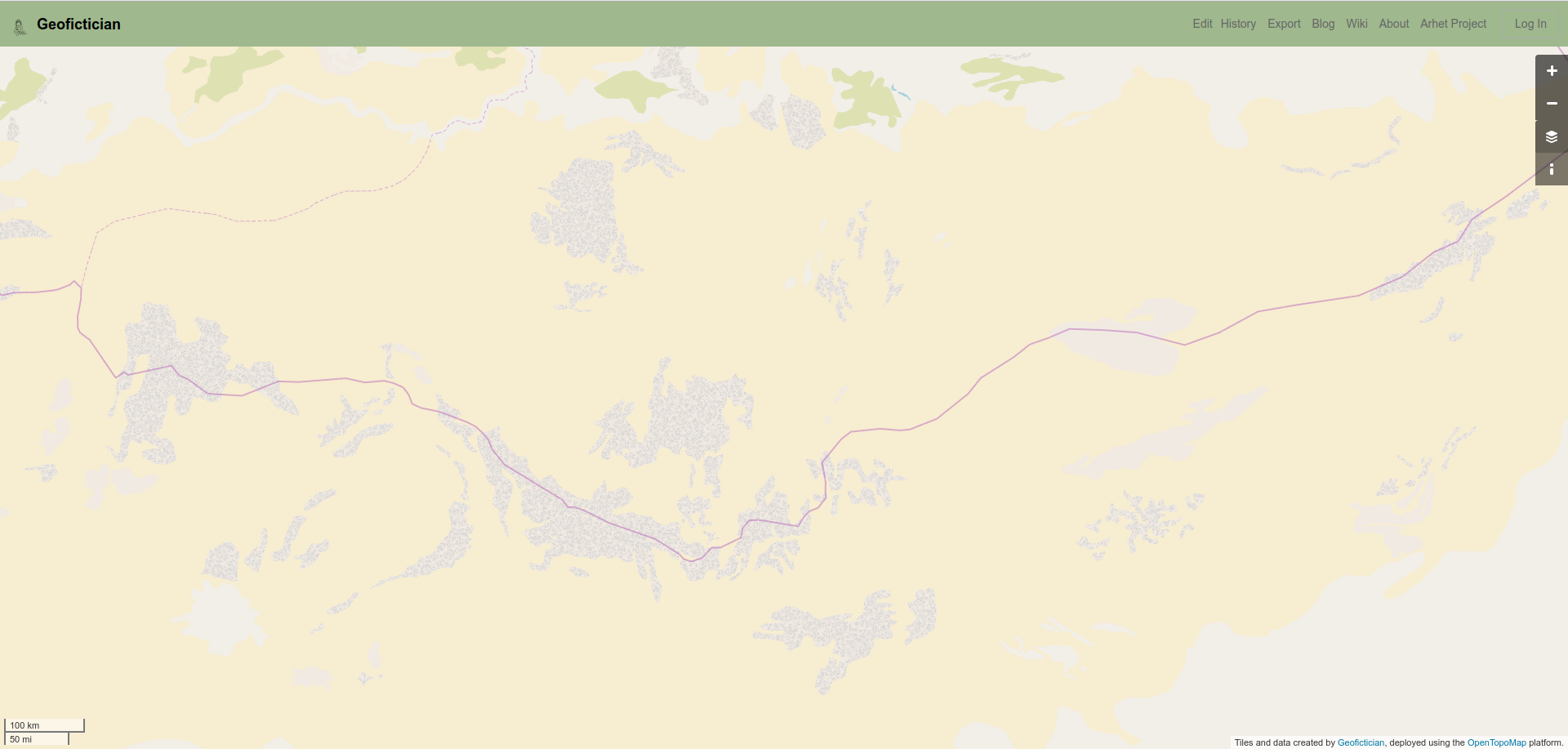
User Moskva, here.
This is better viewed using the “Arhet2-carto” view, which uses the up-to-date mapnik style from OSM, but is currently unreliable.
Moskva is the king of low-zoom mapping.
Music to map by: Zeromancer, “Fractured.”
Best of Arhet, Week 10
The best mapping in Arhet for this week (a little bit late, sorry).
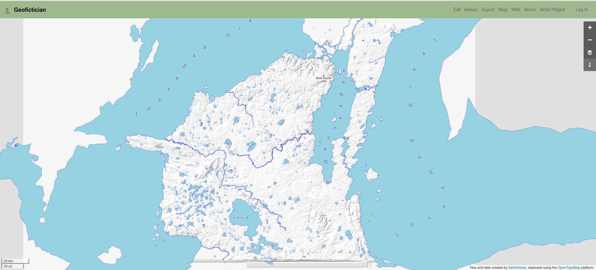
User me, here. I’m testing OpenTopoMap style and layer for Arhet, and have placed a copy of my OGF territory of Makaska on the Arhet server.
Music to render contours by: Electric Light Orchestra, “Strange Magic.”
Small steps
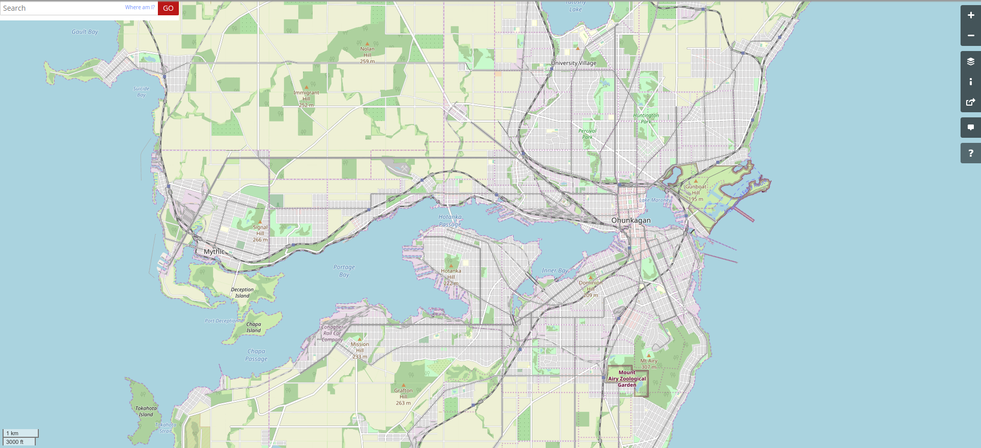
I keep making small incremental progress on Ohunkagan. I start to imagine the city it will be when I reach the “present” – from the perspective of around 1900, which is its current historical moment.
[Technical note: screenshot taken at this URL (for future screenshots to match).]
You can see that the near-northeast has filled in (Balto area). Also, the Conagher Rail Car Company, in the southwest along the portage shoreline, and the Signal Hill area straight west near the line with the town of Mythic.
I have done work farther out, beyond the frame of the “standard” screenshot above, including work at Iyotanhaha, Riverton and Prairie Forge. All these towns will be within the Metropolitan Area’s modern perimeter, once we reach 2020.
Music to map by: Tears for Fears, “Mad World.”
Best of Arhet, Week 9
I missed last week, so there is no week 8. Sorry.
The best mapping in Arhet for this week.
User Moskva, here.
Not that it’s great. But Arhet is a low-volume project, so far, so we can’t be too choosy.
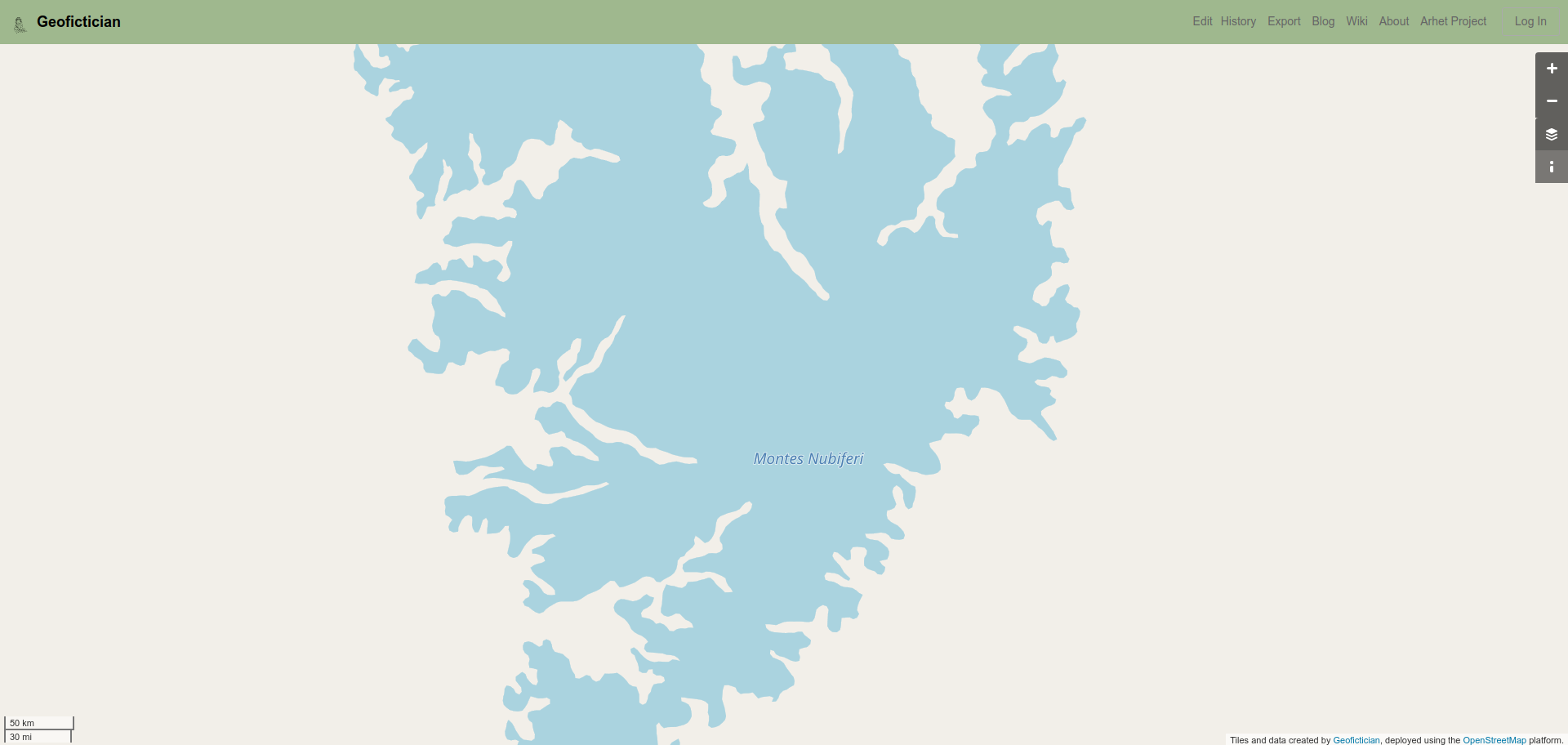
These “mountains” are… not really mountains.
Firstly, in a cartographic sense, there is no such thing as “mountains” – there are contour lines, and there are peaks, and there are (sometimes) areas of forest. These water-tagged areas seem to represent isolines of a certain elevation, as a kind of stand-in for the concept “mountains.” Considered as isolines, they aren’t too bad.
Secondly, it hardly needs to be pointed out that mountains are not water. So the tagging as water is an egregious case of “tagging for the render.” I suppose I shouldn’t criticize this – I’ve been known to do such things myself, e.g. my Tehingdalish in The Deadlands, where my bottomless abyss is tagged as an intermittent lake. But that is different, I feel, because in that instance I’m tagging a feature that has no real-world equivalent with something that will show on the map.
Music to improve mapping by: Doit Science, “都市計画.”
