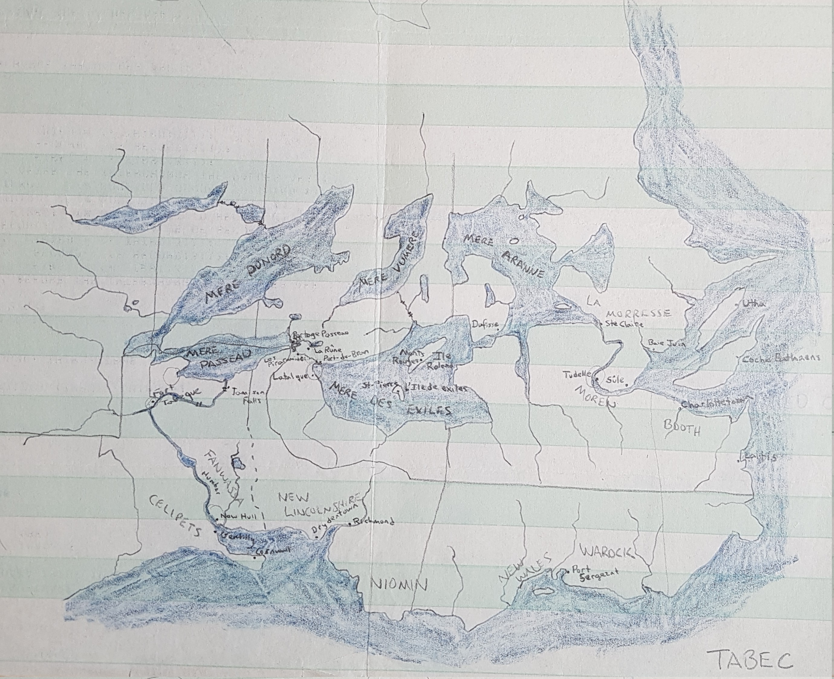
This is the land called Tabec. I drew a dozen or so maps of Tabec during my high school years. It was a parallel-Canada – note the imitation Great Lakes.
I would put this one at 1980, or so. The green-barred continuous-feed computer printout paper gives it away as being fairly early. I used to get piles of the blank printout paper from my uncle, who took classes in computers at the nearby university.

