For this week’s low-effort brag-post of my geofiction, I’m taking a detour off the OpenGeofiction site and going to my other map-server, the planet called Arhet. I built this map-server before rebuilding the OpenGeofiction site – it a sense, it ended up as a kind of audition for being considered qualified to take over OGF. Anyway, there are far fewer users on Arhet, it’s a much smaller server, and it’s quite a bit more chaotic – there is no effort to create a coherent “world” the way that we do on OpenGeofiction. It’s just little map-snippets the various users are working on. Unlike OGF, there are no constraints on realism. That’s why I put this bit of mapping on Arhet.
Goodgrove is the “start town” for a MUD (“multi-user-dungeon” – a type of text-based old-school computer game) I was desigining for a while, with a working title of Hellbridge. That work is definitely dormant – I haven’t worked on it in years. The setting is a kind of semi-steampunk, semi-swords-and-sorcery setting. But I had the novel idea that I could create a detailed map of the world, much higher quality than that typically associated with MUD’s, and that I could even go in the direction of having some kind of “player locator” icon on some customized presentation of the map. So you would be moving around the game-world and meanwhile you could be logged into a website hosting a slippy map of the world, and you could see an icon that placed your location in that world.
I still think it’s a compelling and clever idea, and within the realm of what I could conceivably create, but I simply didn’t have the energy or gumption to push forward with it. But the starter town of Goodgrove was mapped down to every detail, and every single node on the in-game map has a corresponding node on this OSM-style map. It’s not meant to be strictly realistic – it’s a game map for a fantasy setting, not meant to represent any verisimilitudinous place.
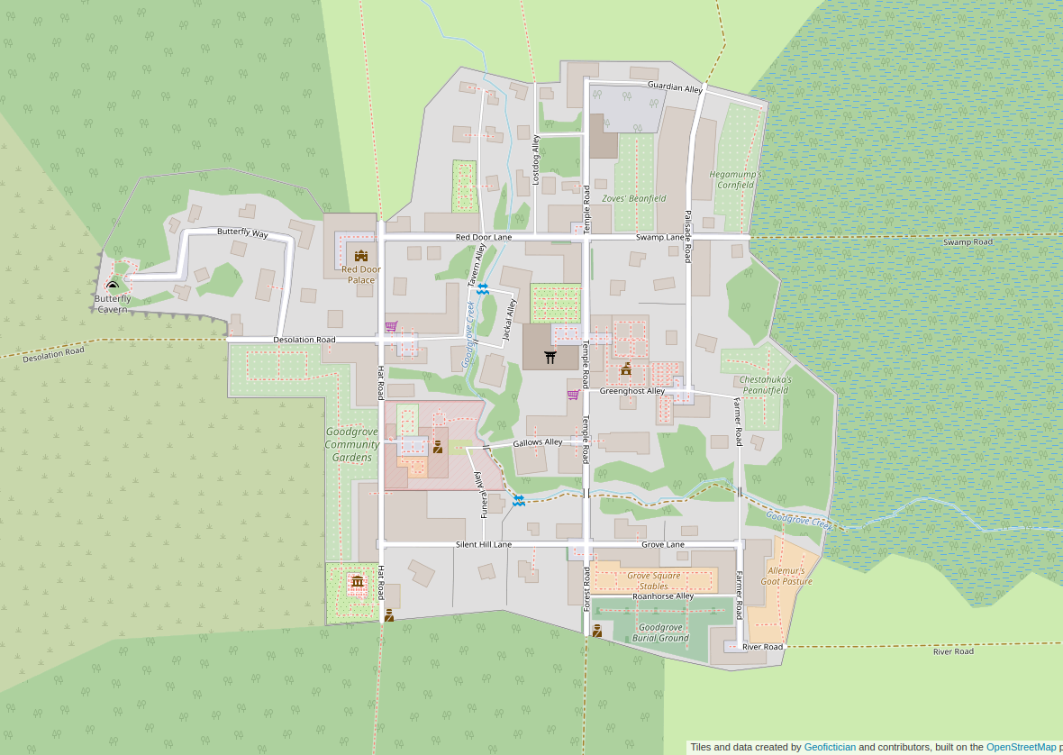
Here is link to the zoomable map: https://arhet.rent-a-planet.com/#map=16/41.9412/-66.8451&layers=W
