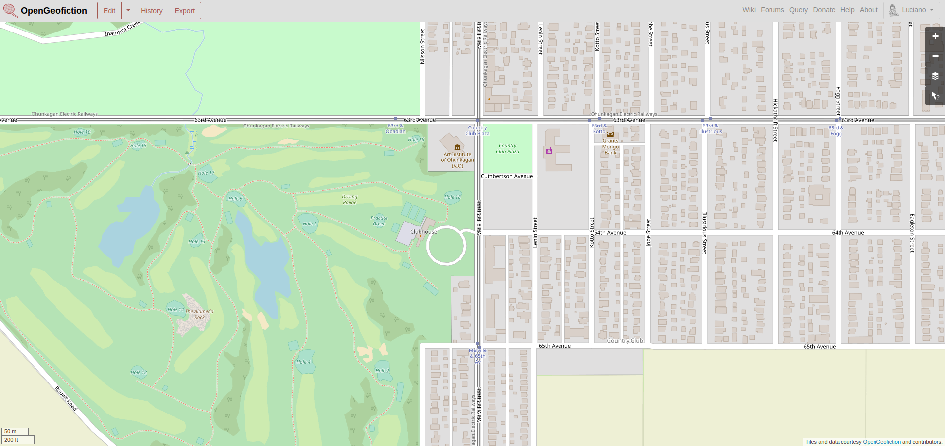
My low-effort brag-post for this week is a neighborhood called “Country Club Alameda, in the imaginary city of Ohunkagan. The mapping is currently in a time-warp, not yet having reached 1920, but there’s an intersection of two streetcar routes at 63rd Avenue and Melville Street, and a golf course southwest of that.
This neighborhood is found on the opengeofiction map here: https://opengeofiction.net/#map=17/-42.49772/146.04194&layers=B

