I’ve neglected this weekly posting for half a year – mostly feeling I didn’t have anything new or interesting to share. A lot of my mapping has been ‘support and cleanup’ work on my own topo layer stuff, where small incremental changes and a messy overall appearance mean it’s rarely worth sharing. Let’s not call it ‘weekly’ anymore.
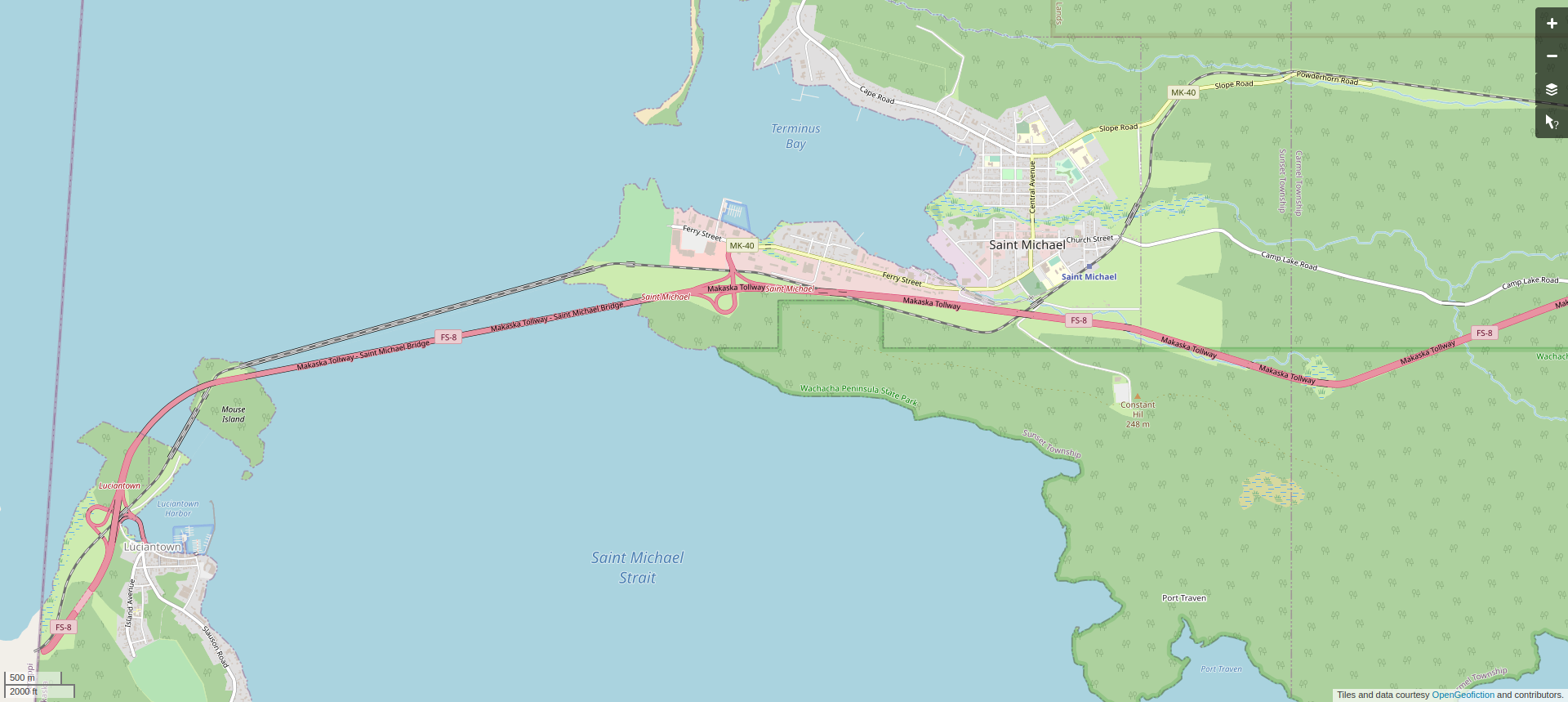
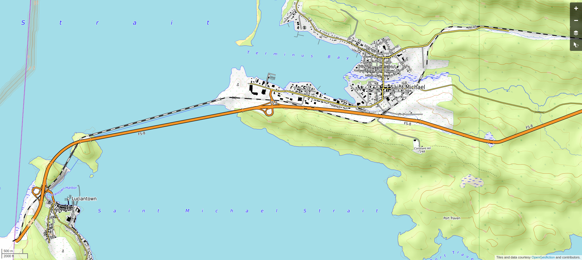
Anyway, my low-effort brag-post, this time, is to show the western end of the Wachacha Peninsula, the area known as Sunset Township, with the towns of Luciantown and Saint Michael. These are on the southwest edge of the state of Makaska. The economy in the area, such as there is, is mostly tourism-related. I’m pleased with how the towns fit to the hilly terrain of the area – these are not huge mountains, but the topography is meant to resemble the western part of Michigan’s “Upper Peninsula.”
Here is the area in regular view.
Here is the area in topo view.
This area is found on the opengeofiction map here: https://opengeofiction.net/#map=14/-42.7526/143.9197&layers=V
