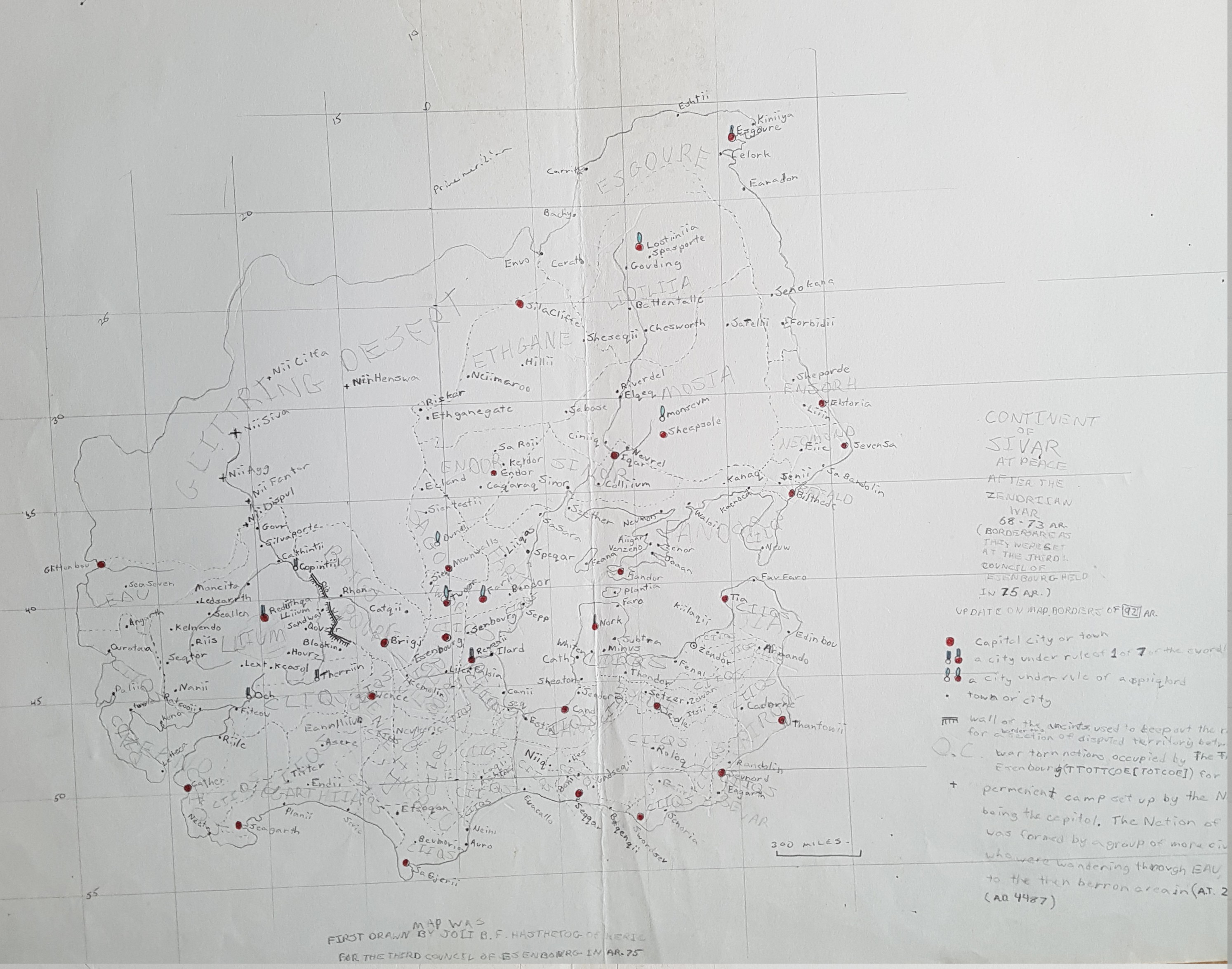
This is a map of the continent of Tsiqeye, on the planet Rahet. I drew this in 1978. I also commonly called it Ciiqia at that time. Same name, different spelling.
Category: Offline Geofictions
My Paper Geofiction #10
My Paper Geofiction #9
My Paper Geofiction #8
My Paper Geofiction #7
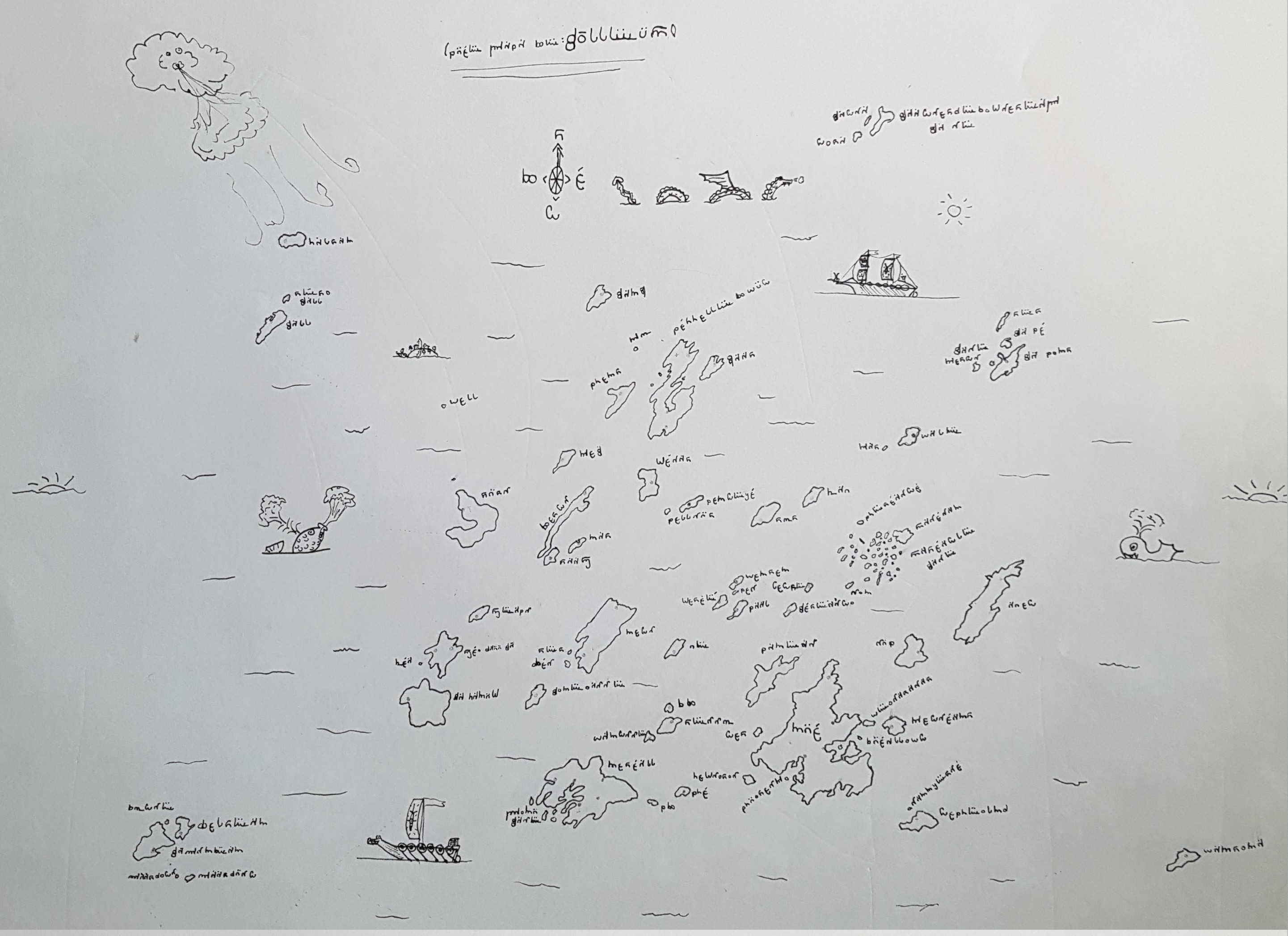
This is a map of a place whose name I can no longer decipher. I used to invent writing systems to go with my imaginary worlds, and this one, undocumented, is lost to time. It’s clearly inspired by Tolkien’s Elvish, but I doubt it’s in any way directly related.
The archipelago-of-islands is obviously drawing on LeGuin’s Earthsea, which I thought very highly of at the time. I’d estimate this was drawn around 1979. The rapidograph ink lines give away the period.
My Paper Geofiction #6
My Paper Geofiction #5
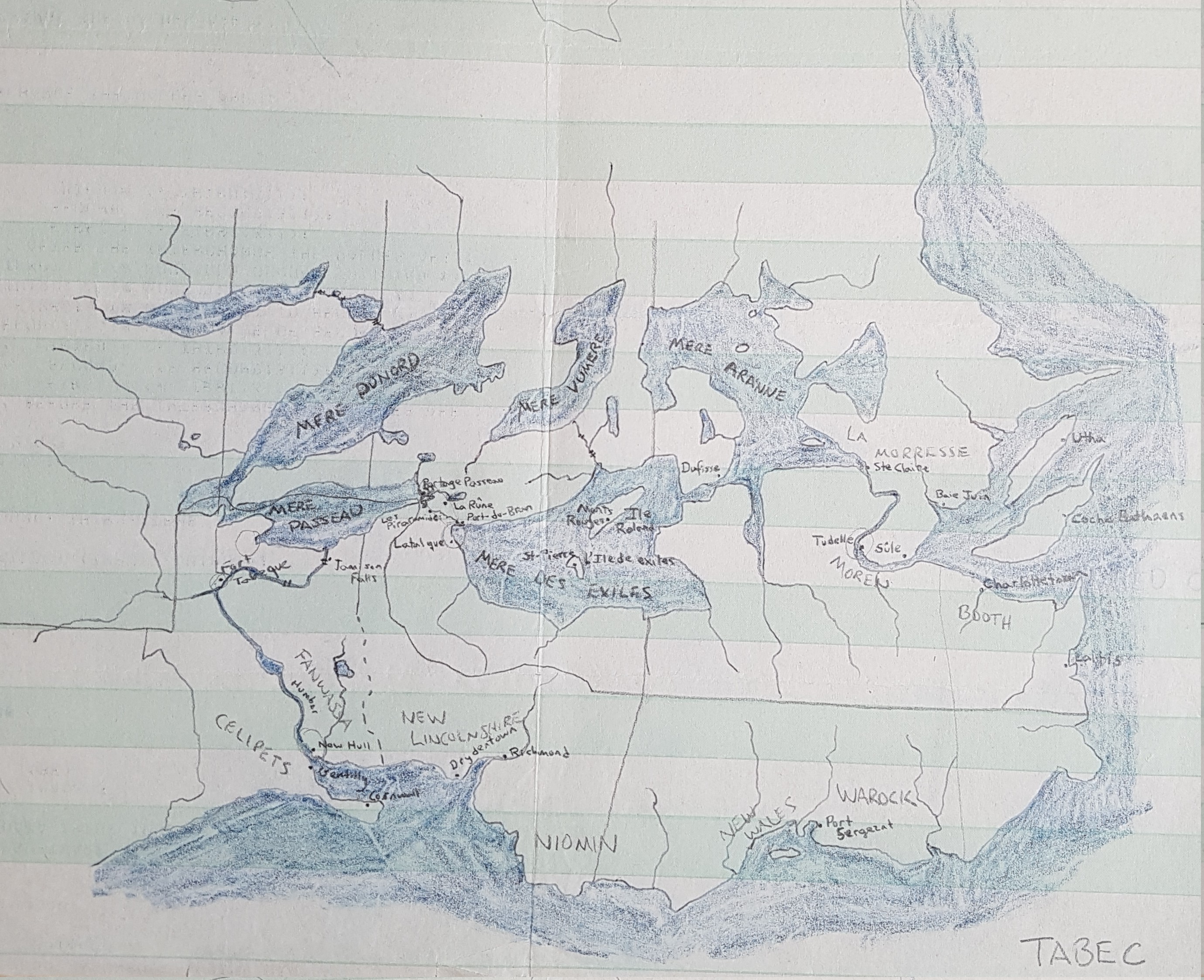
This is the land called Tabec. I drew a dozen or so maps of Tabec during my high school years. It was a parallel-Canada – note the imitation Great Lakes.
I would put this one at 1980, or so. The green-barred continuous-feed computer printout paper gives it away as being fairly early. I used to get piles of the blank printout paper from my uncle, who took classes in computers at the nearby university.
My Paper Geofiction #4
My Paper Geofiction #3
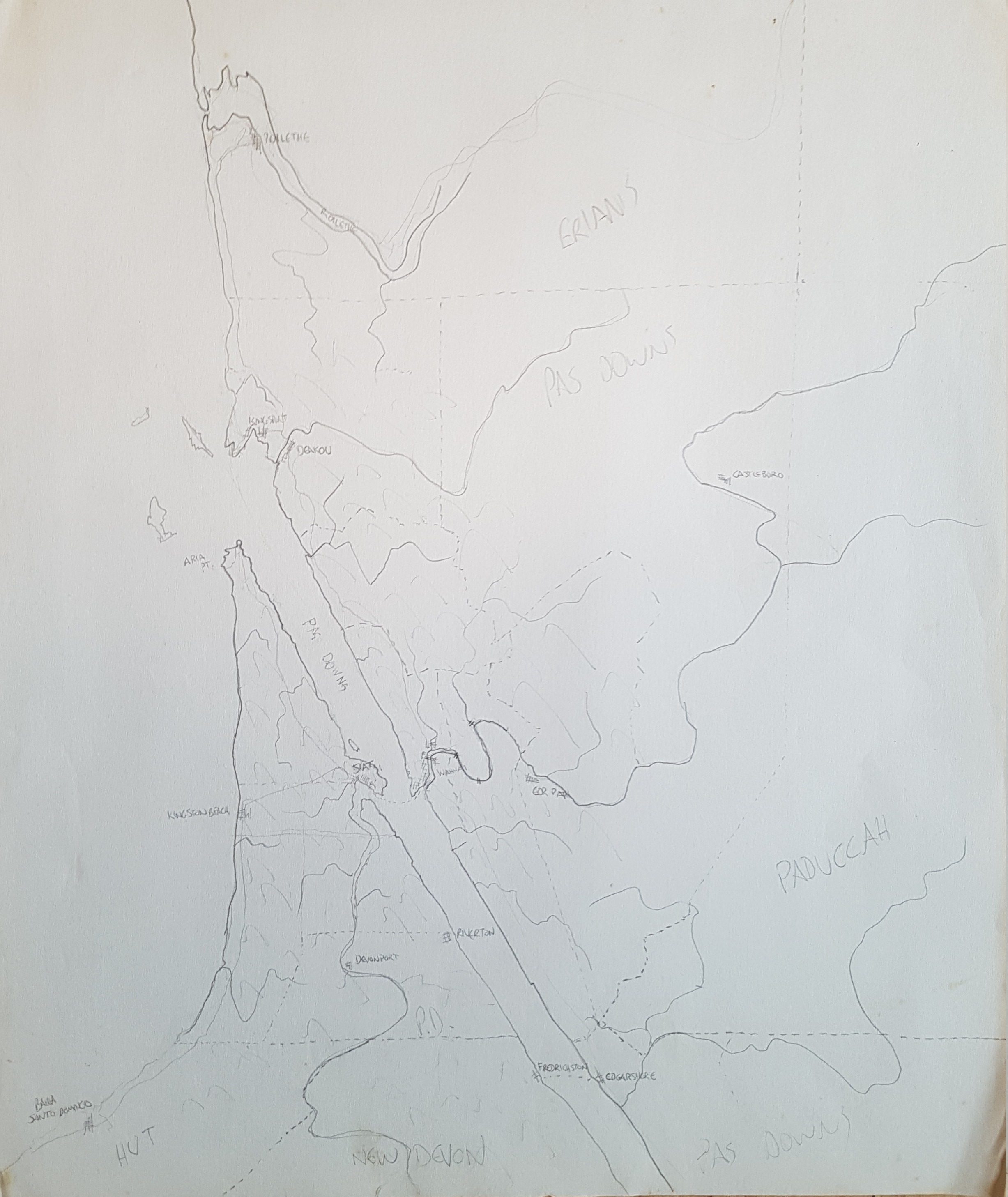
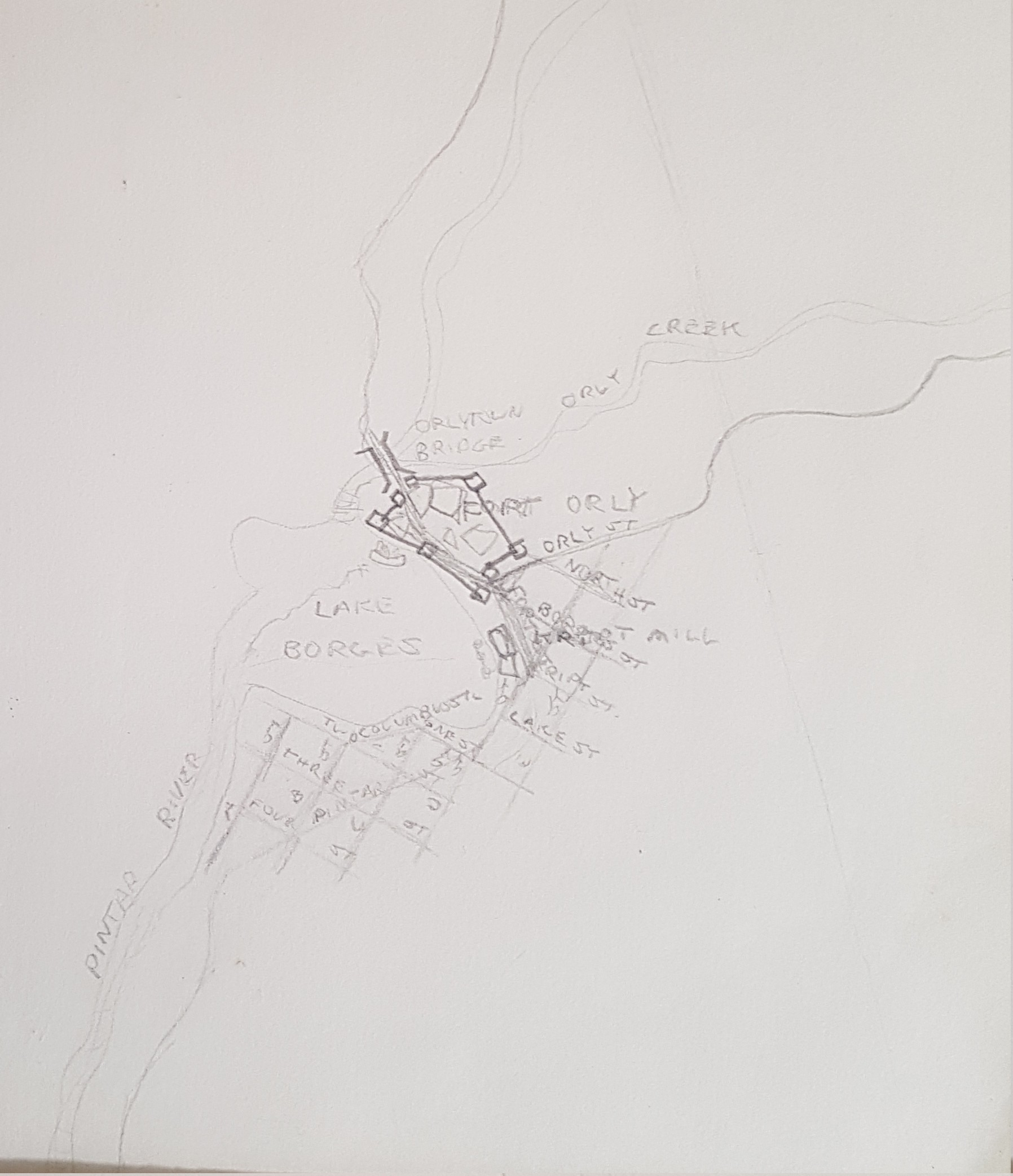
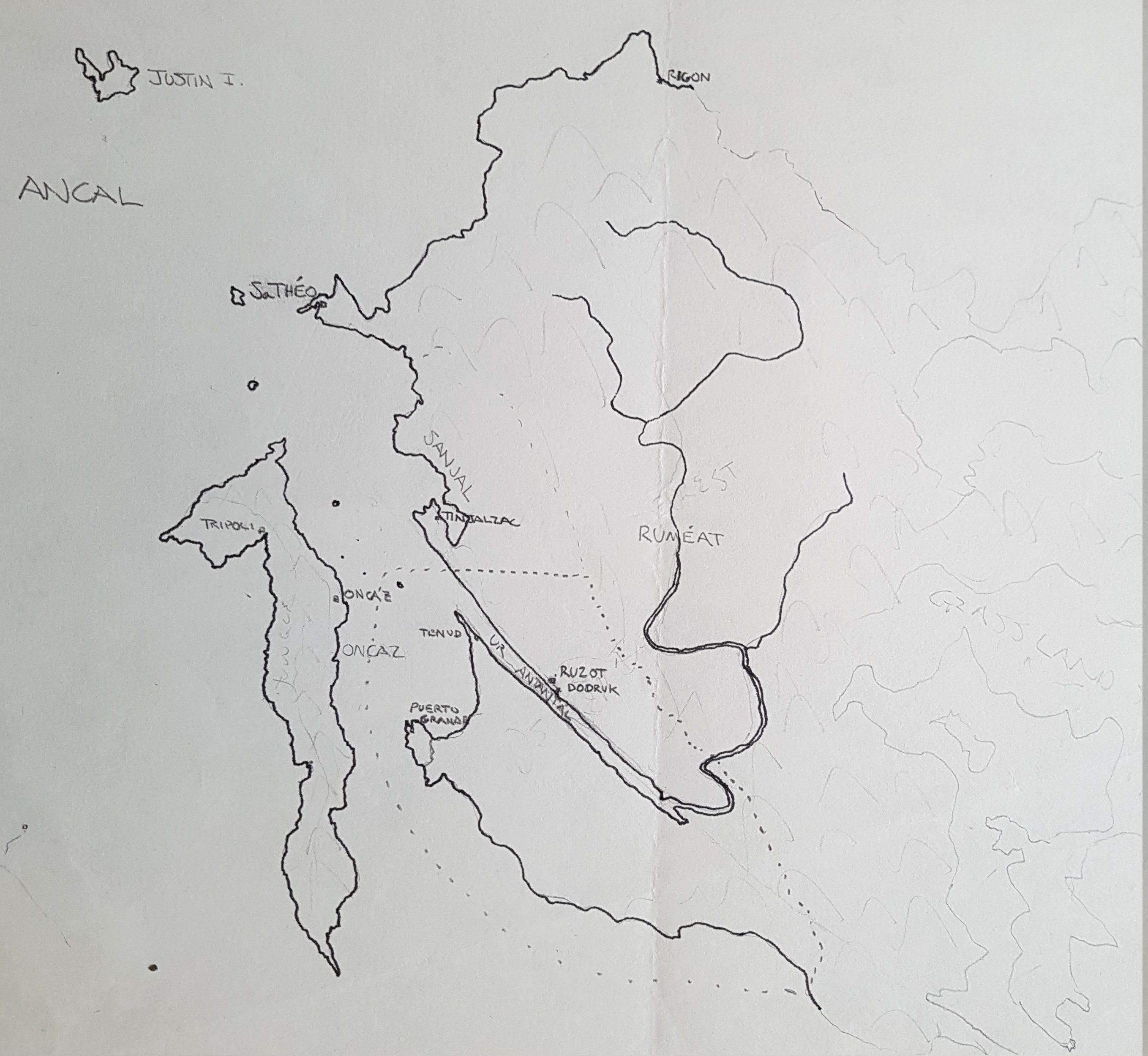
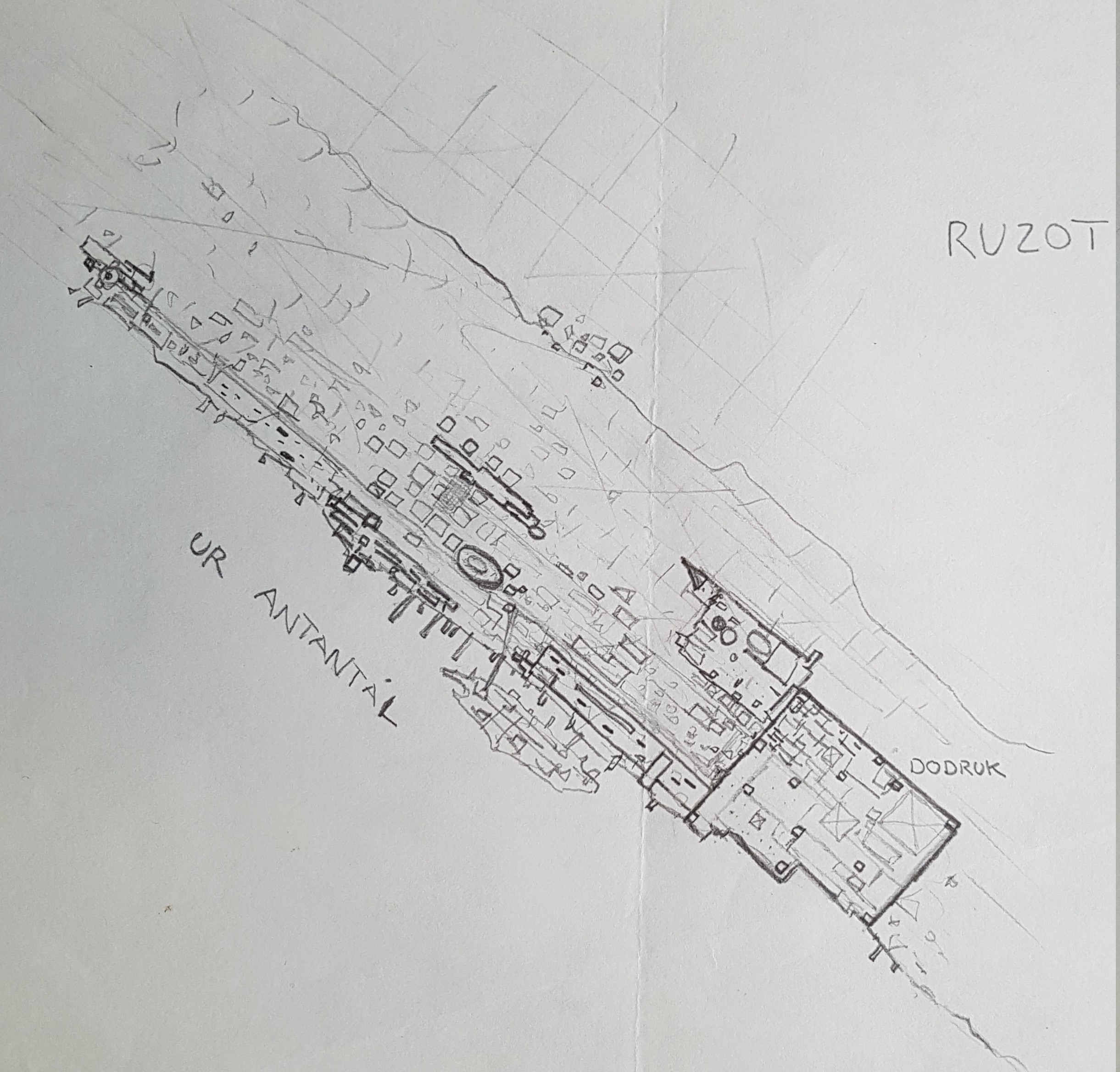
This is one of the many incarnations of what I know in my mind as the “Pas Taons.” This later became integrated to Mahhal lore as the site for the city of Derindonderak, but here it is still just the Pas Taons, and interestingly, I seem to have allowed some parallel-earth Spaniards to colonize the area (note the cities of Tripoli and Puerto Grande).
I suspect this is from when I was in high school. Maybe around 1982.
