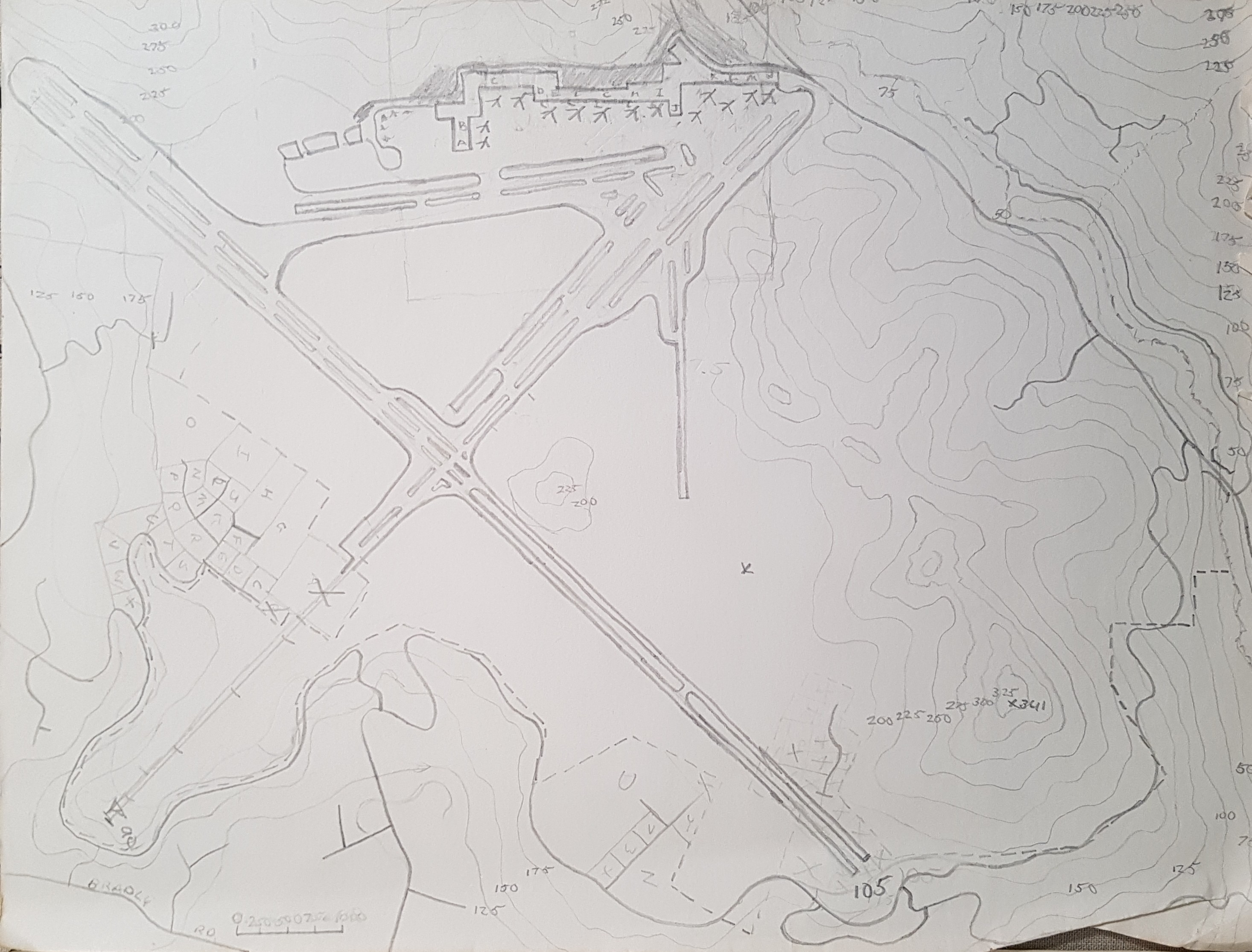
My Paper Geofiction #1

As I’ve mentioned before, I’ve been drawing maps on paper since I was 6 or 7 years old (and houseplans, and schematics, and planetary systems, and many other things, too).

I’ve found my old, main stash of these drawings, all the ones I’ve saved over the years. So I’ve decided to post one “paper geofiction” every day.

Just as something to do.

I don’t always know exactly when I drew something. I’ll give a guess with each one.

This one is an airport (or spaceport), with contours(!), drawn in 1981.

picture

Longtime Geofictioning

Arhet remains a work-in-progress. I’ve come up with two not necessarily incompatible tag-lines for the project:

  1. “Imaginary real estate doesn’t need to be a scarce resource.”
  2. “Sometimes you want to just toss verisimilitude out the window and map something crazy!”

I’ve been working on a kind of side-project, where I’m trying to get my MUD, called Hellbridge, to expose player location information to some kind of API or queryable dataset, such that I could then use something like a multimaps window in the wiki or wordpress to show player location on a map. This is a customization of the out-of-the-box CoffeeMUD platform I’m trying to use, and my Java programming skills are non-existent, which makes it difficult, but it would be a cool and unique feature if I could get it to work.

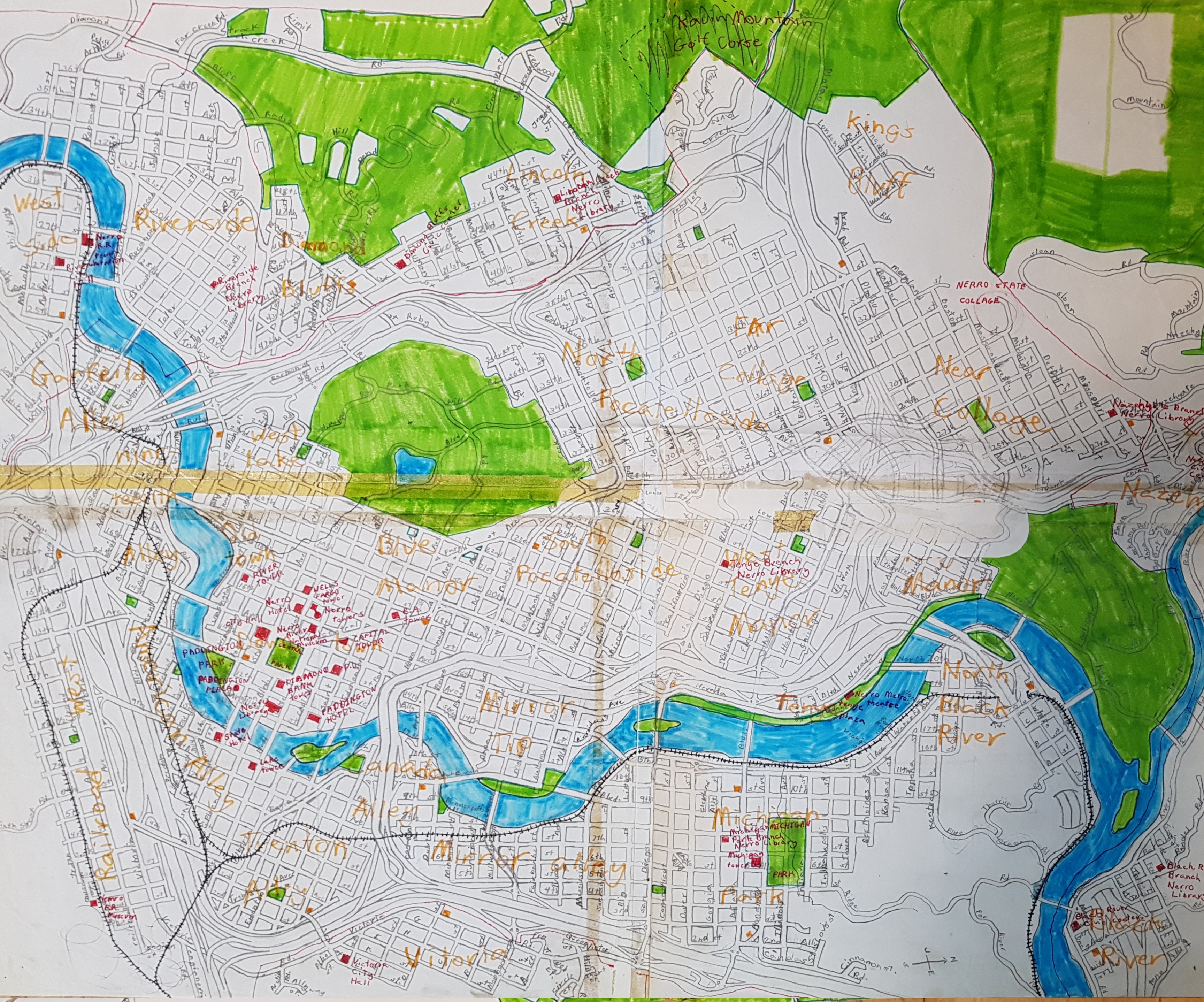
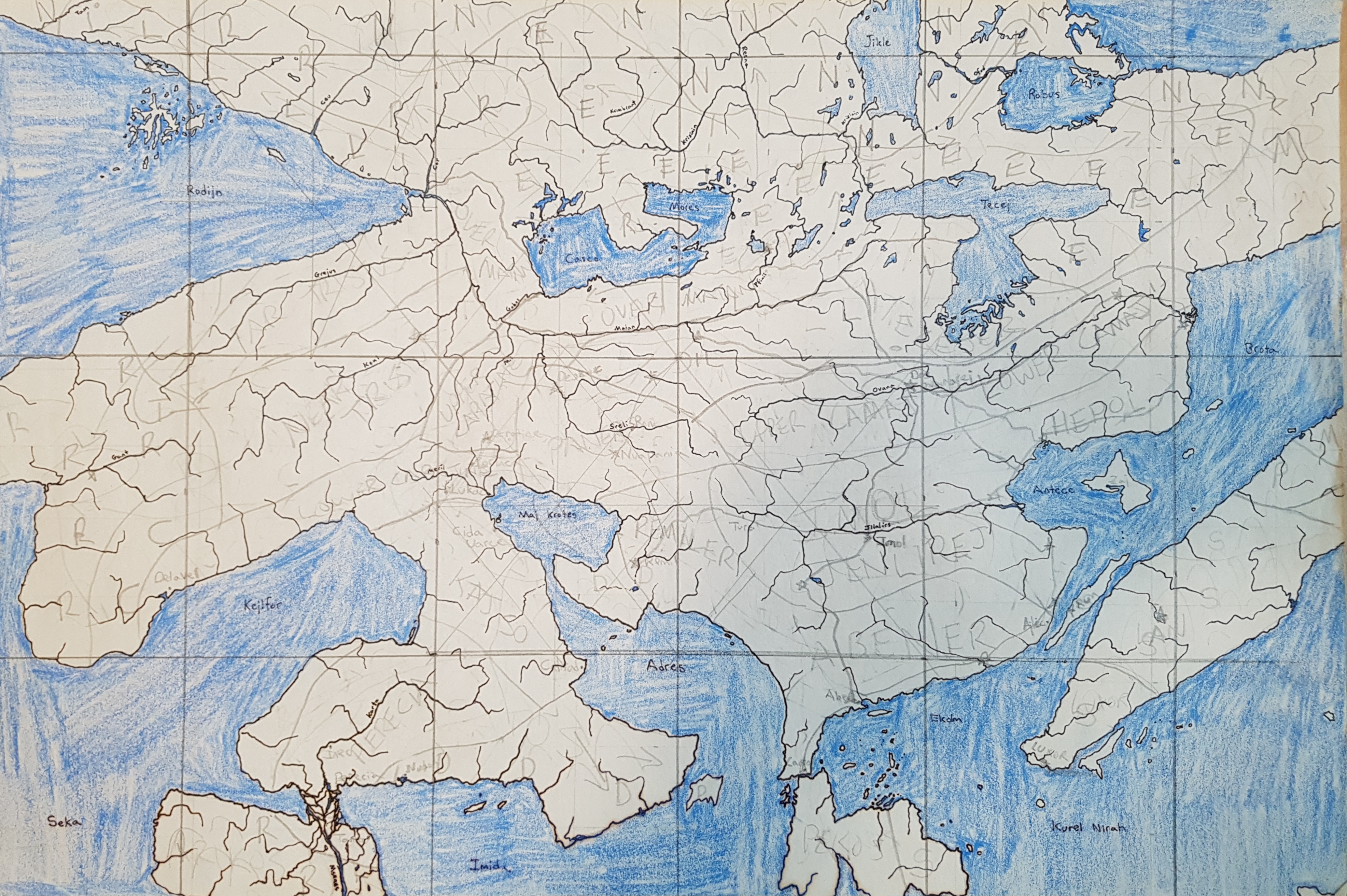
I decided since I had very little that’s actually new to report, I could fill this blog-space with some ancient mappings. I have been doing geofiction since grade school. Here are two maps drawn on paper from a long ago era.

This is the city of Nerro, drawn when I was aged 10.
picture

This is the continent of Preye, on a planet with a frequently-changing name (but colonized by those brutal Mahhalians). I drew it probably in high school, but I don’t quite remember.
picture

Music to map by: Cimafunk, “Ponte pa’ lo tuyo.”
5 Years Mapping and Naming

I failed to commemorate my 5th anniversary on OGF. I mapped my first node on January 31, 2014. Maybe there were a few nodes mapped before this, but they have been deleted, and they were on that same date. Puerto Desolado was my first OGF town.

Only today, I felt a moment of nostalgia.

I keep working, slowly, on Makaska. One thing that’s important to me: the “native” names in the state are the pseudo-fictional Rakhoda language. This is just an alternate name for the Dakota language, as spoken by the native peoples of southern Minnesota in the pre-European era. So all the native names of the state are actual Dakota words. Hence when mapping, I keep this hand book on my desk:

picture

Music to name things by: Sioux Honor Song