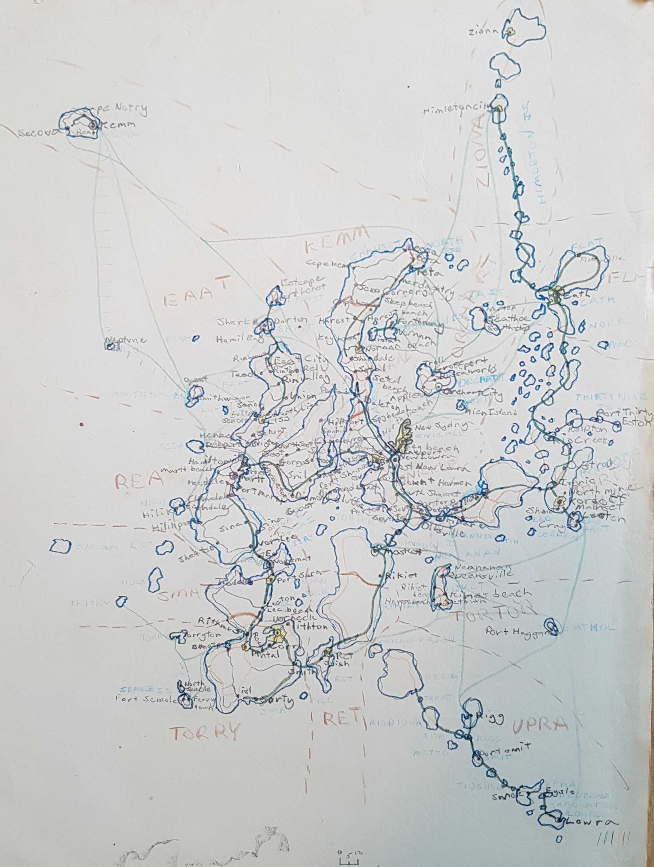
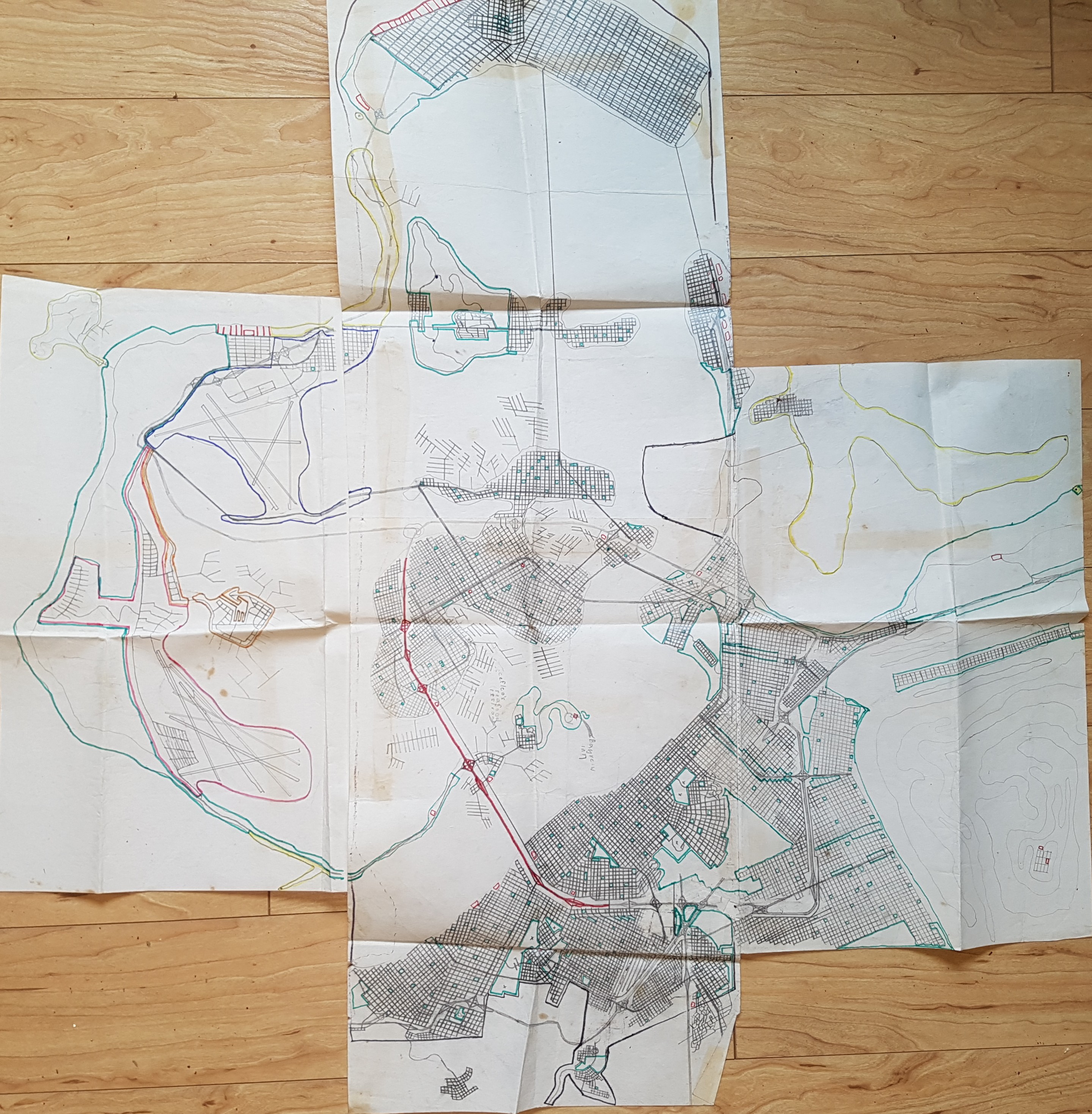
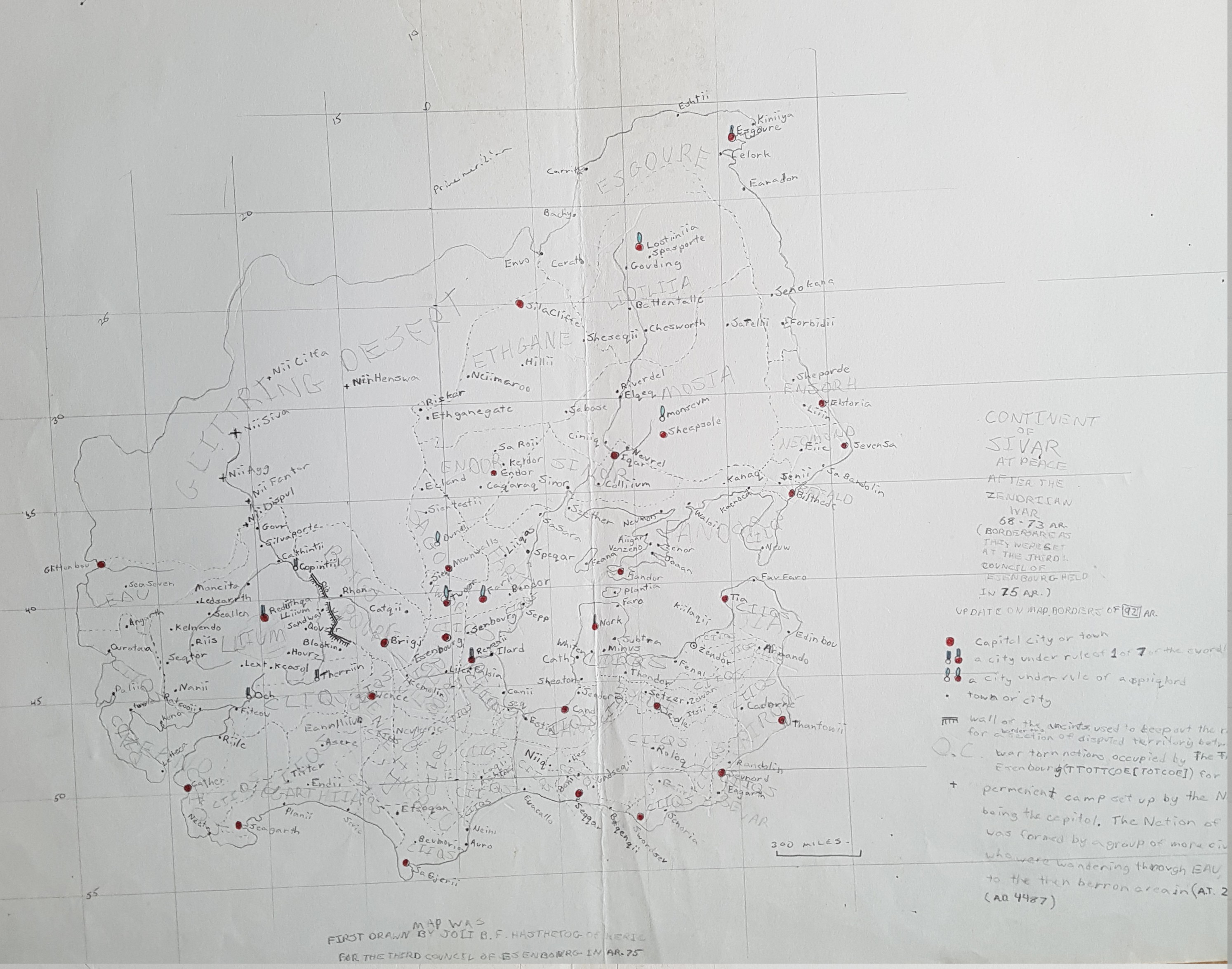
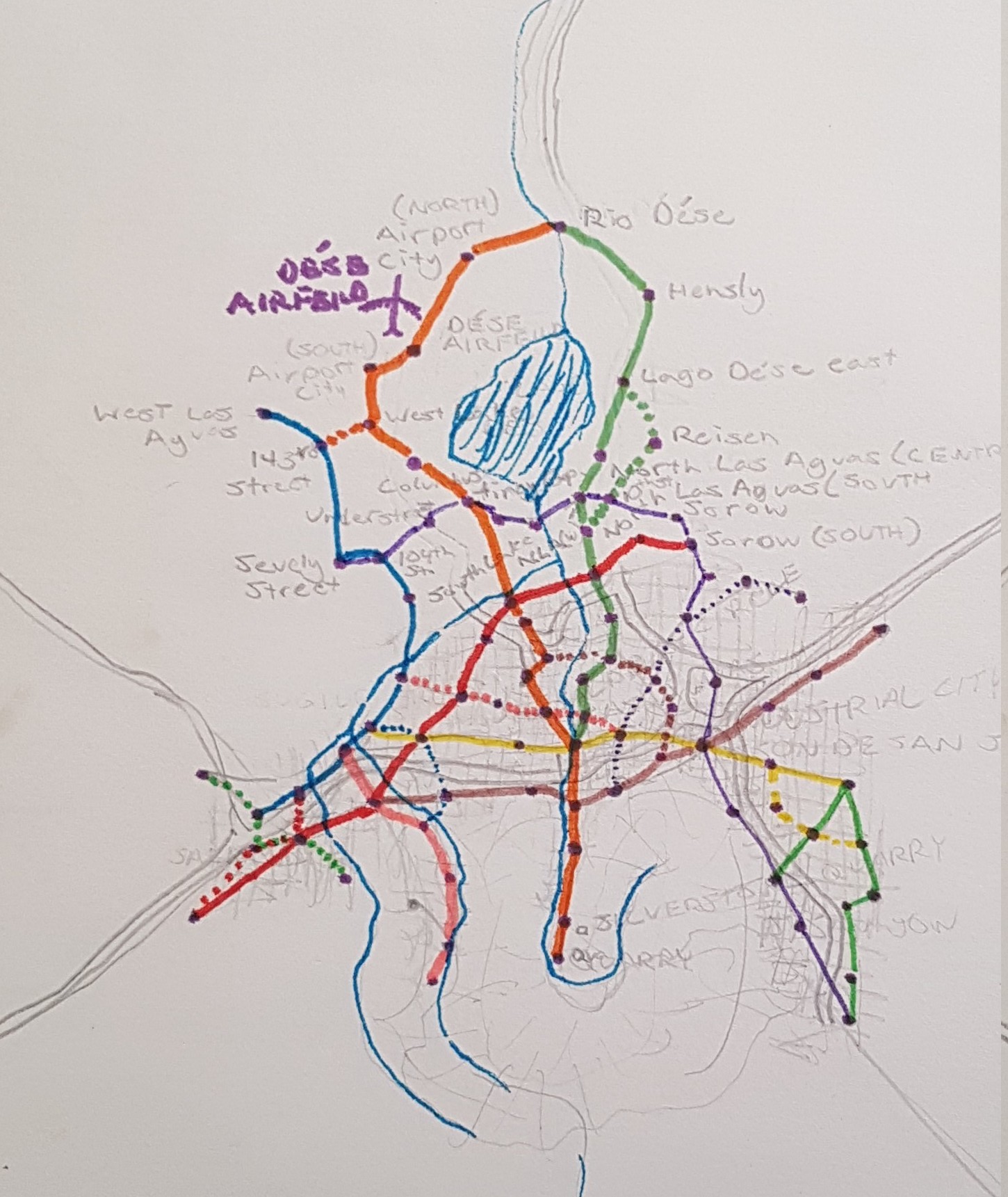
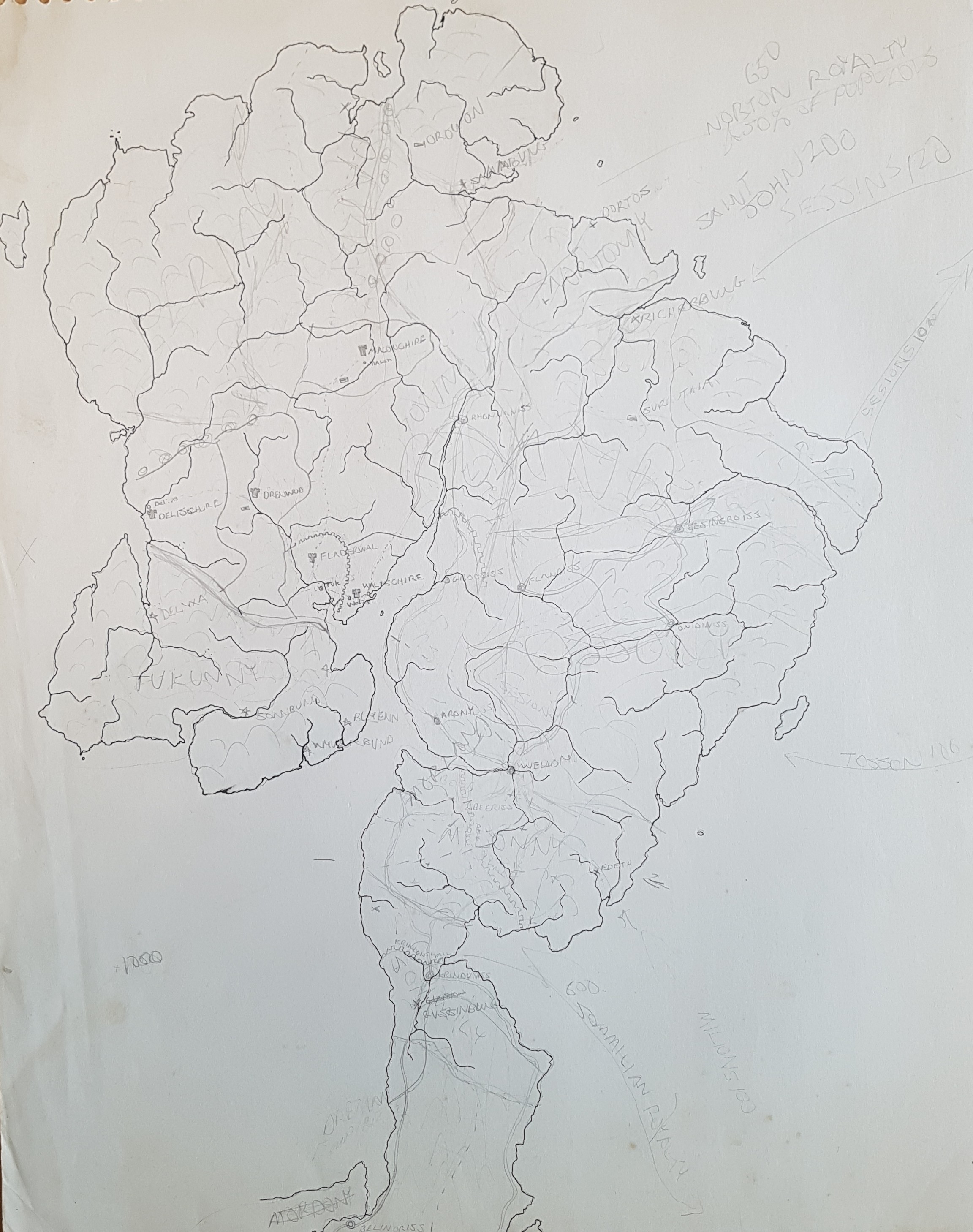
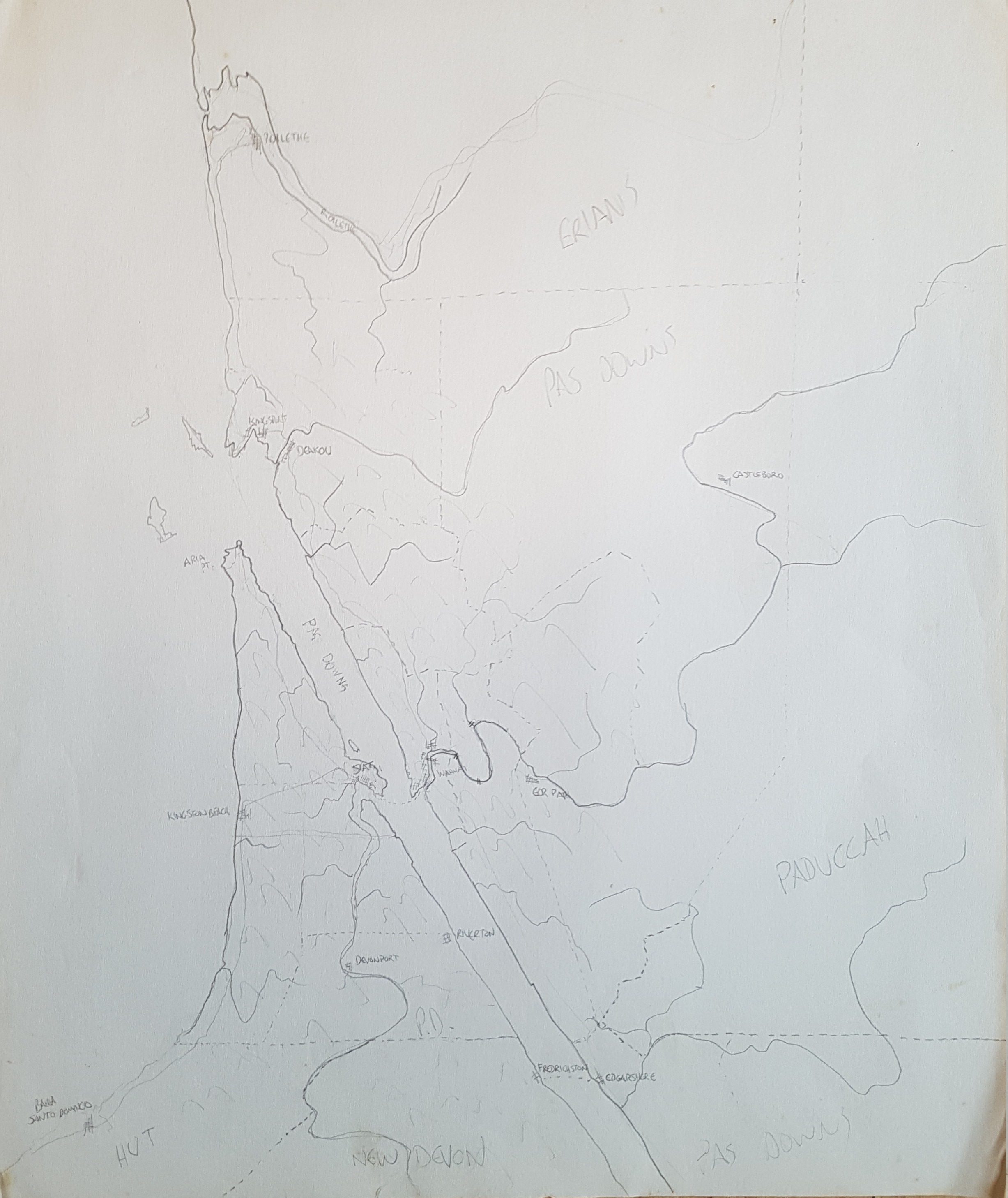
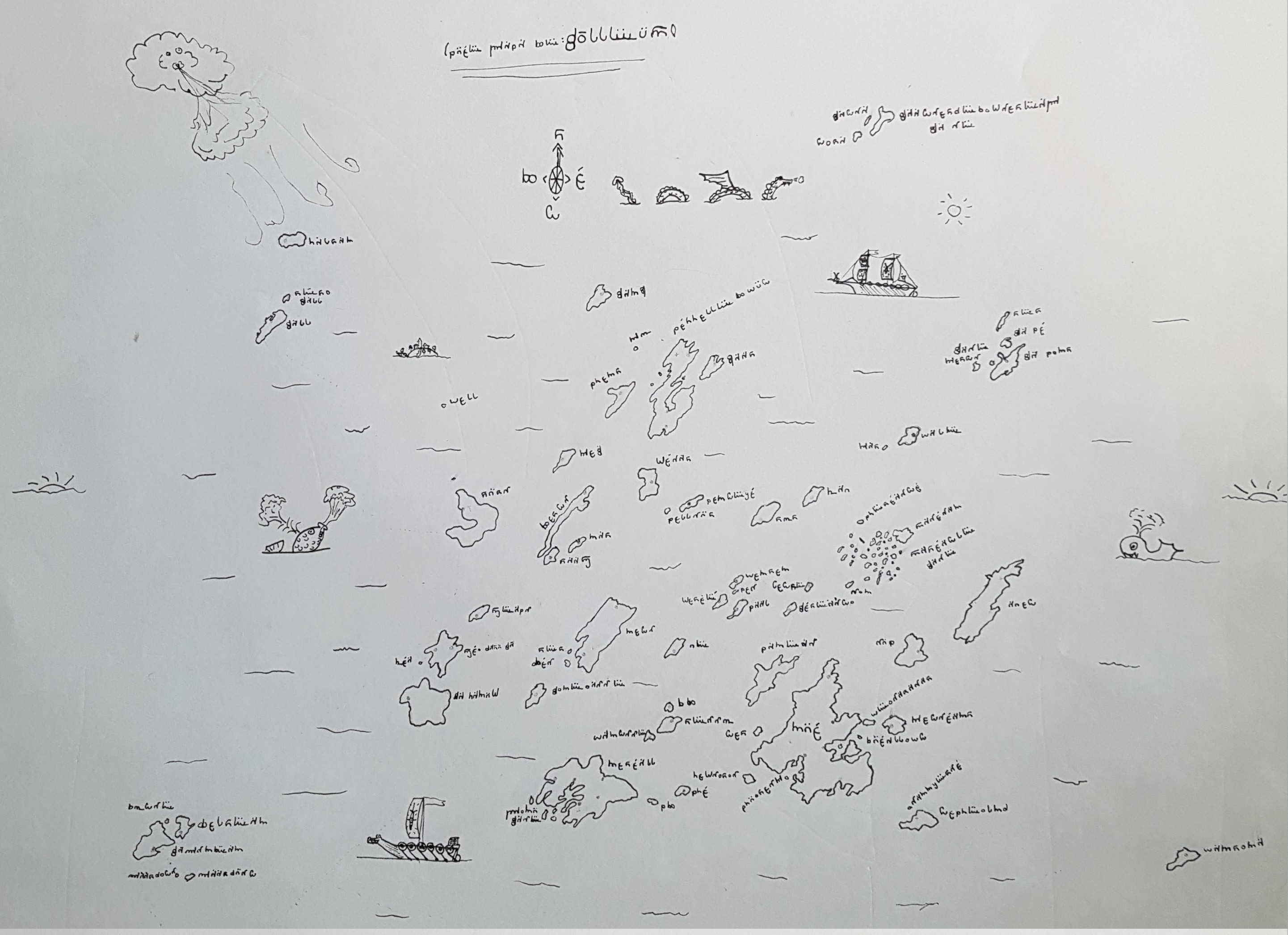
This is a map of some chain of islands that I drew when I was around 10 or 11 years old. Note the excessive motorways from island to island.
My Paper Geofiction #13
My Paper Geofiction #12
My Paper Geofiction #11
My Paper Geofiction #10
My Paper Geofiction #9
My Paper Geofiction #8
My Paper Geofiction #7
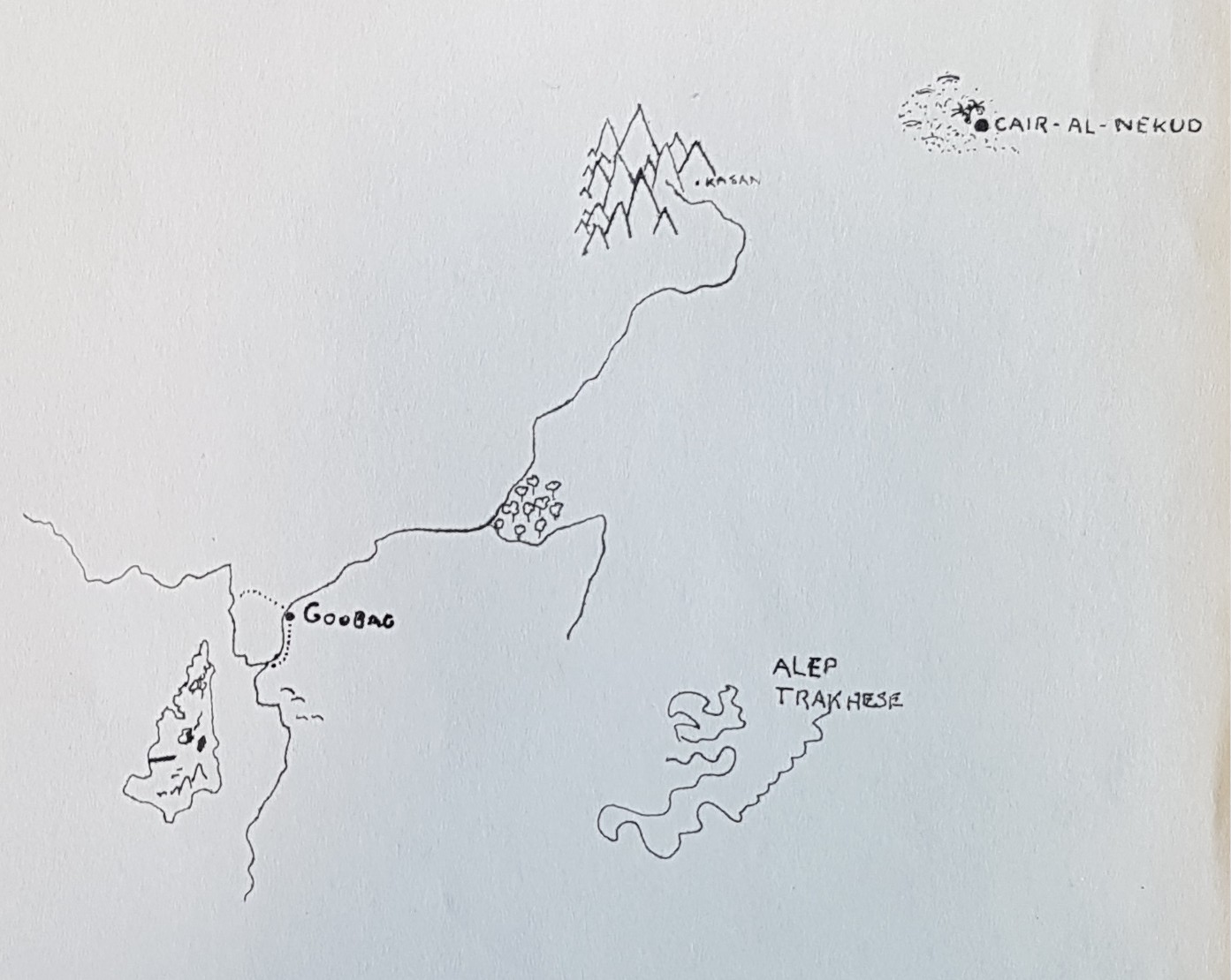
This is a map of a place whose name I can no longer decipher. I used to invent writing systems to go with my imaginary worlds, and this one, undocumented, is lost to time. It’s clearly inspired by Tolkien’s Elvish, but I doubt it’s in any way directly related.
The archipelago-of-islands is obviously drawing on LeGuin’s Earthsea, which I thought very highly of at the time. I’d estimate this was drawn around 1979. The rapidograph ink lines give away the period.
Best of Arhet, Week 12
The best mapping in Arhet for this week.
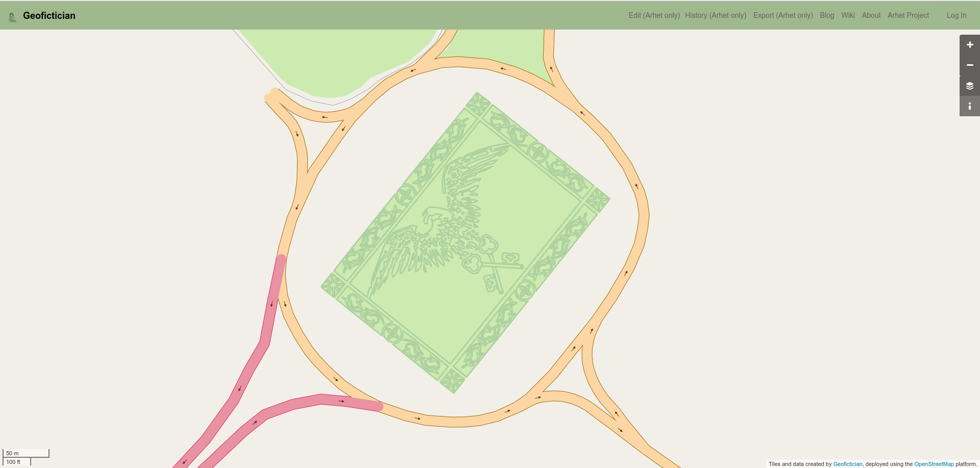
User Moskva, here, (concept by Mapping Expert, apparently).
In fact this isn’t so hard, I don’t think – if you use the “add svg” plugin for JOSM. But I think it’s cool to imagine a topiary garden as a giant, detailed flag. I had done this once, in front of the presidential place in Ardisphere. But it was deleted when I started work on redesigning the capital city.
Music to map by: Meg Myers, “Running Up That Hill.”
