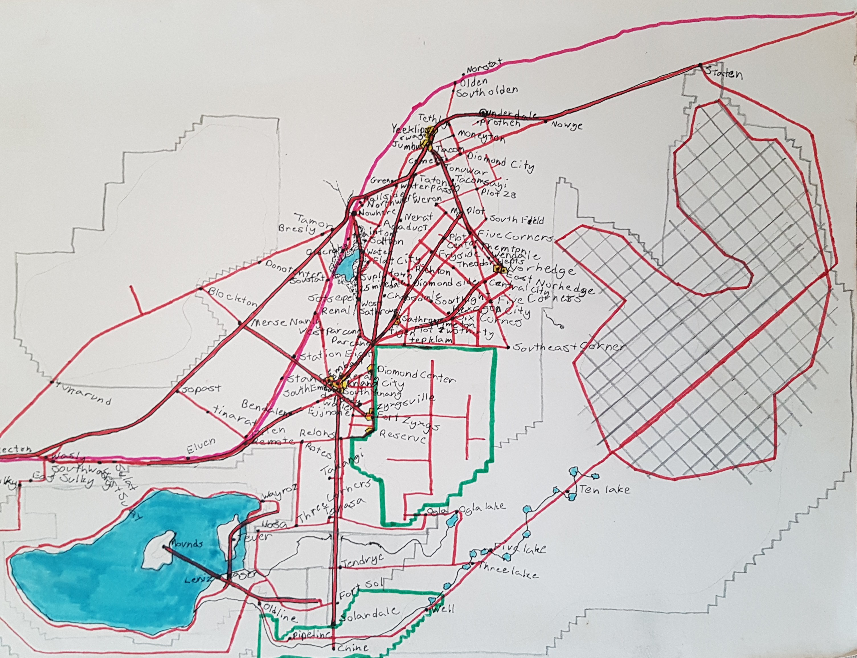
I have been pretty busy with computer stuff over the last few days.
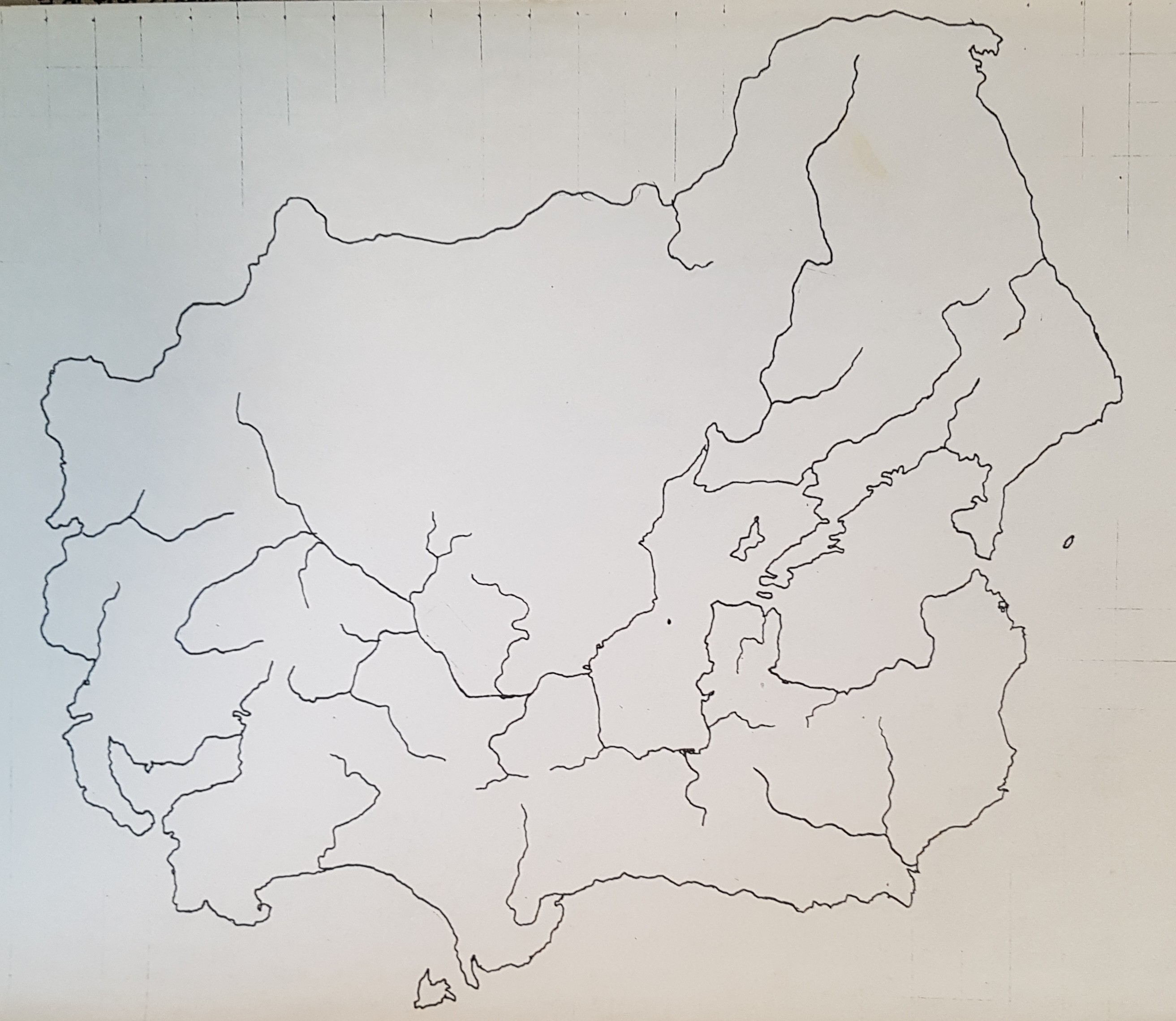
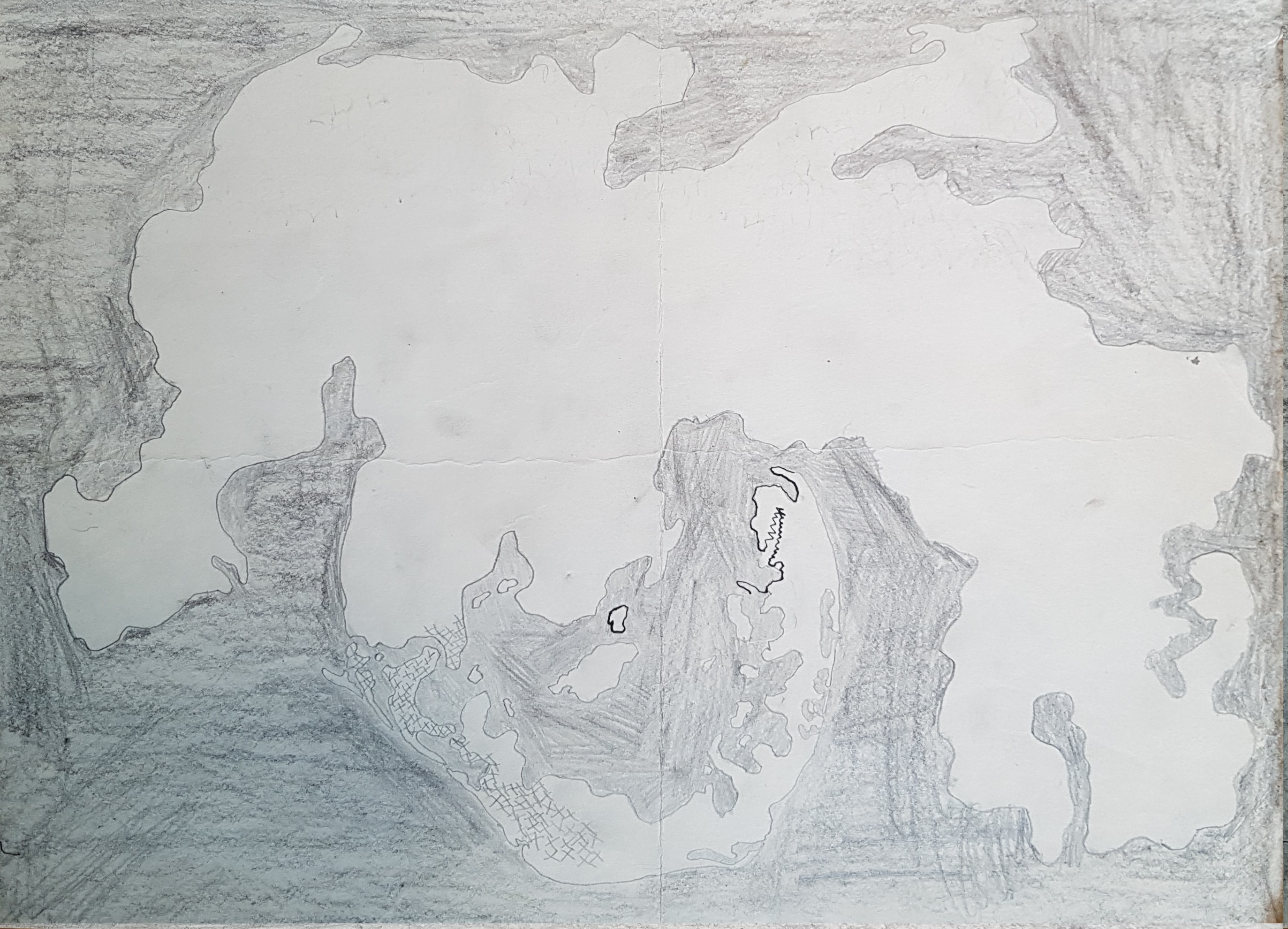
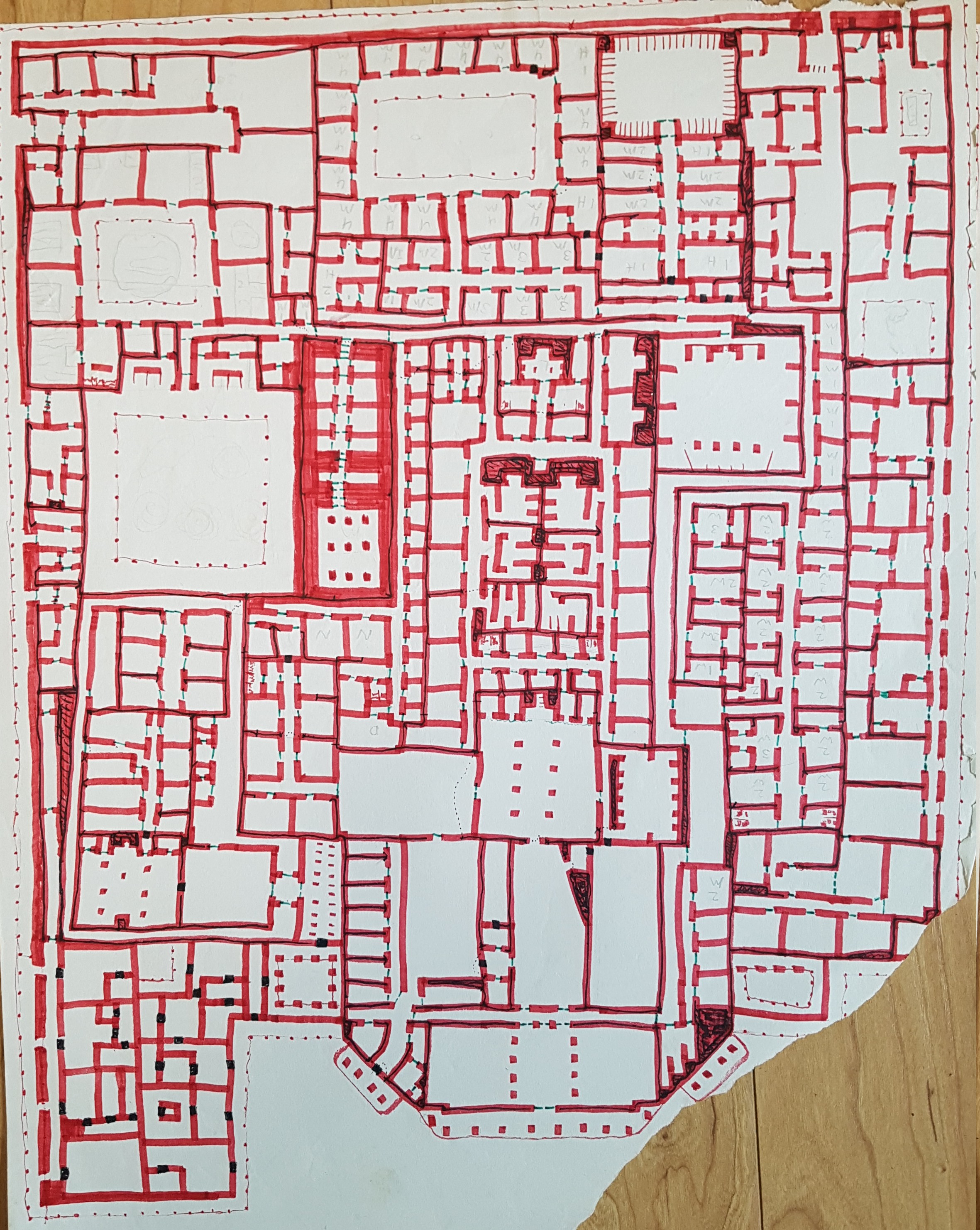
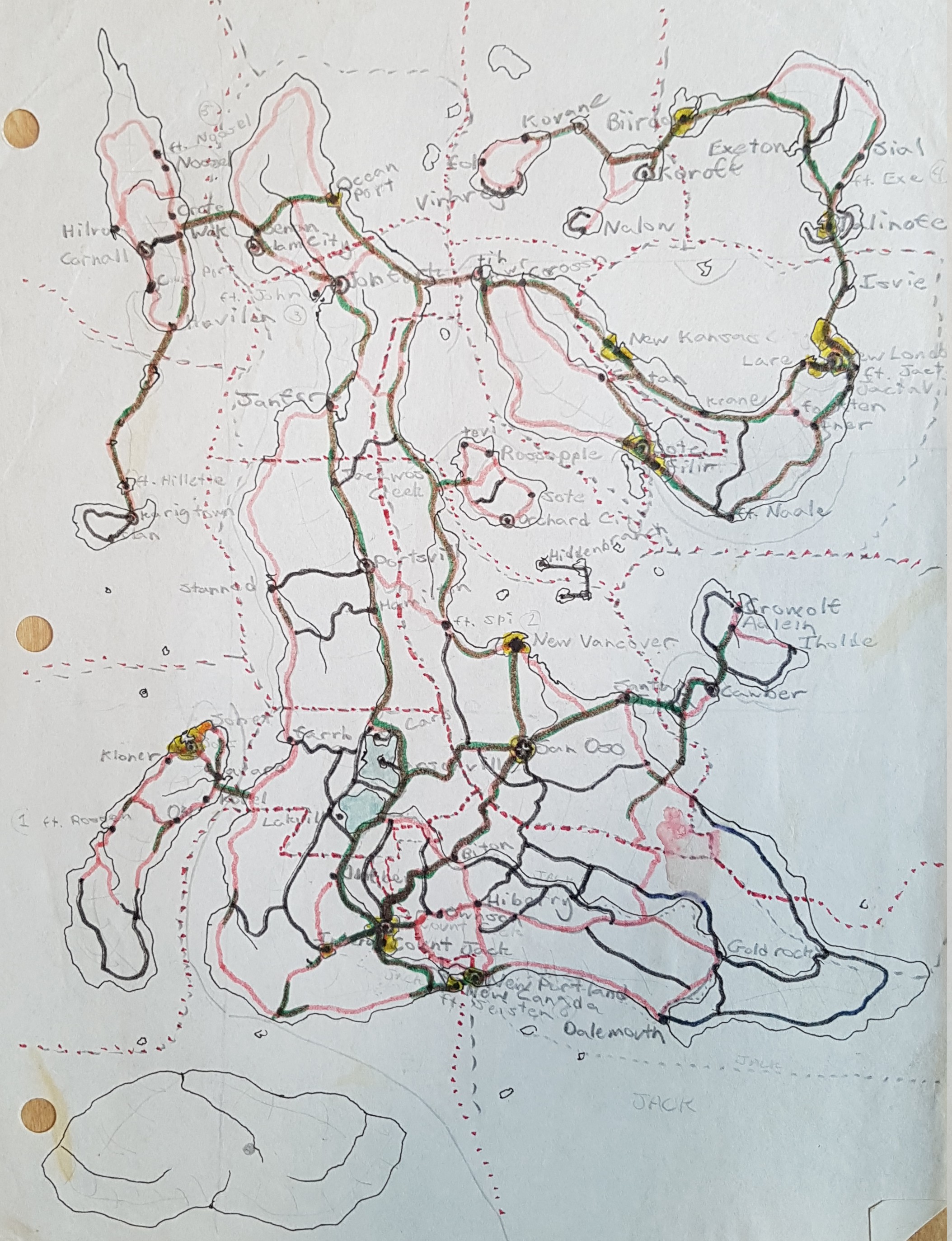
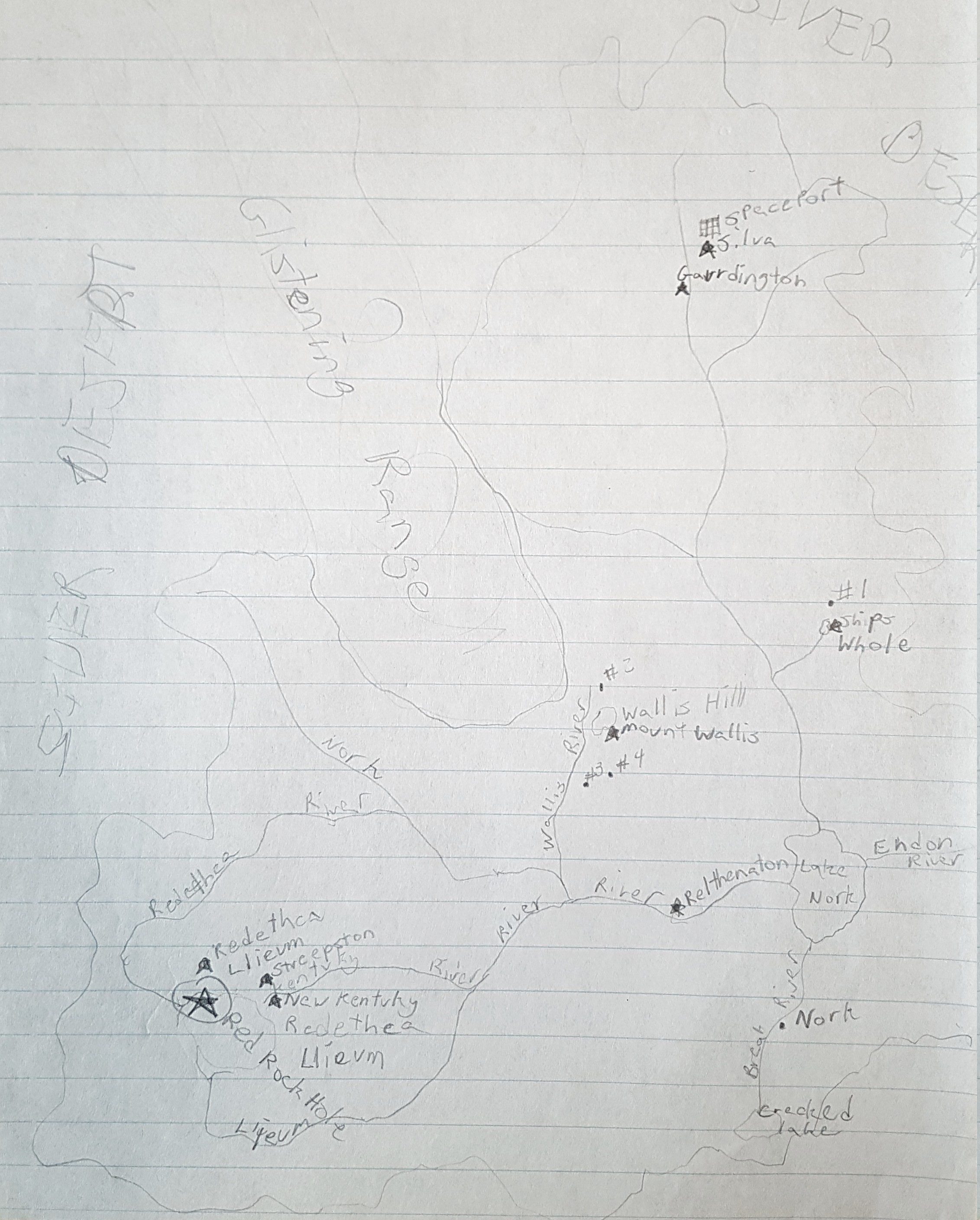
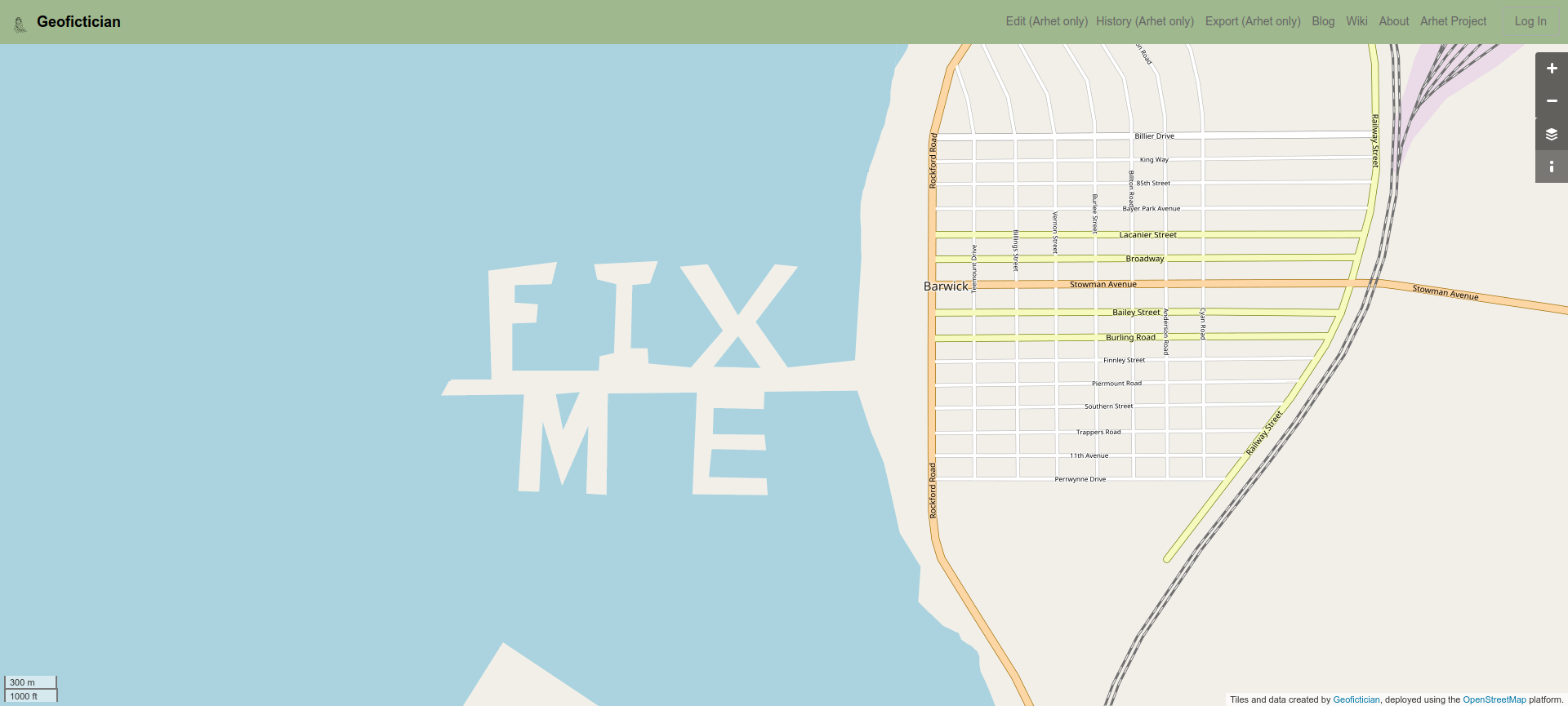
That is because something new happened. For at least three years, now, I have imagined there might be a path to turning my eccentric computer-based geofiction hobby into some kind of business. Well, I officially have a first customer. I won’t say anything about that person – they may wish to preserve anonymity. But the concept is that they want their own, private “imaginary planet map server” in the style of the real world’s OpenStreetMap or Google Maps. These already exist. OpenGeofiction (“OGF”) is the most popular imaginary one, where I have been an active participant since early 2014. And in 2018 I began my own project, Arhet.
I like to call these “imaginary slippy maps” HRATE‘s: “High Resolution Alternatives to Earth.”
It has seemed to me there might be demand for these things. Geofiction isn’t exactly a popular hobby, but there are several hundred users at OpenGeofiction, and there are websites and communities dedicated to it, including the active reddit r/imaginarymaps. Further, if Hollywood is willing to pay linguists big bucks to create imaginary languages for their stories (e.g. Klingon from Star Trek, Dothraki from Game of Thrones), there might also be creators of large, mass-market fantasy or sci-fi who are also willing to pay money for professional-grade “slippy maps” of imaginary places. The current extant efforts at such things are depressingly amateurish, e.g. this map of Westeros.
 A few months ago, I had put out to the OGF community, in a very low-key way, that I would be willing to do the technical work and provide ongoing server hosting and administration to anyone willing to pay a minimum monthly amount on my Patreon account. Patreon is a website used by “creators” (musical performers, programmers, writers, visual artists, etc.) to provide a kind of “pay what you think it’s worth” tool for their fans and customers. On my Patreon account user page, I’d made explicit the concept, as you can see at this link (screenshot at right).
On Monday, someone reached out to me and said they were interested. So I promptly “spun up” a new geofiction server and gave them a log on username for it.
This is not trivial work, however.
I’m using the OpenStreetMap software platform – because it’s free and open source.
But it requires an Ubuntu Linux server (I rent my servers from a company called Linode, since they specialize in Linux servers). My servers live on server farms in California and New Jersey. They are not that expensive – the $20/month rate I set up on Patreon will cover the rental fee for a small server.
Building and running a Linux server from scratch is pretty involved, if it’s to be for a specialized application like a GIS map server (GIS means “Geographic Information Systems”).
I have to install databases (plural!), Apache (the webpage controller), the so-called Rails Port (the website software behind OpenStreetMap, OpenGeofiction, or Arhet), a rendering engine (part of the OpenStreetMap architecture but not integrated to Rails Port). Several of these pieces need customized bits of programming code changes to accommodate a function not in their original design – i.e. hosting an imaginary, non-Earth planet map. Several aspects of the OpenStreetMap platform “hard code” real-world facts and data – because the designers simply never imagined the idea that someone would be using the platform to present non-real-world data. I have to remove code references and datafiles related to Earth’s coastlines, for example, and develop alternate ways to extract that information from the planet database and generate those same datafiles in the correct format. Etc., etc.
Anyway, I’ve got my customer’s planet up and running, including a nicely mapped chain of islands, that the customer asked me to import from their work on OGF. I’m feeling pleased with this. If I get 2 more such customers, I’ll be making enough margin (over and above server rental costs) to support my other tech requirements. I will not link to this new server I just built, however, since they deserve to have a say in how I publicize their work.
I doubt very much this would ever be a way to make an actual living. But it’s nice to imagine that this hobby could be turned into a supplemental source of income. So maybe it wouldn’t be a “living,” but it would be sufficient to pay for the geofiction hobby and for several other internet-based hobbies that involve money. For now, I bought some beer. We shall see.
Meanwhile, as I often say on the OpenGeofiction site: happy mapping.
Music to build servers by: Moderatto, “Si No Te Hubieras Ido.”
