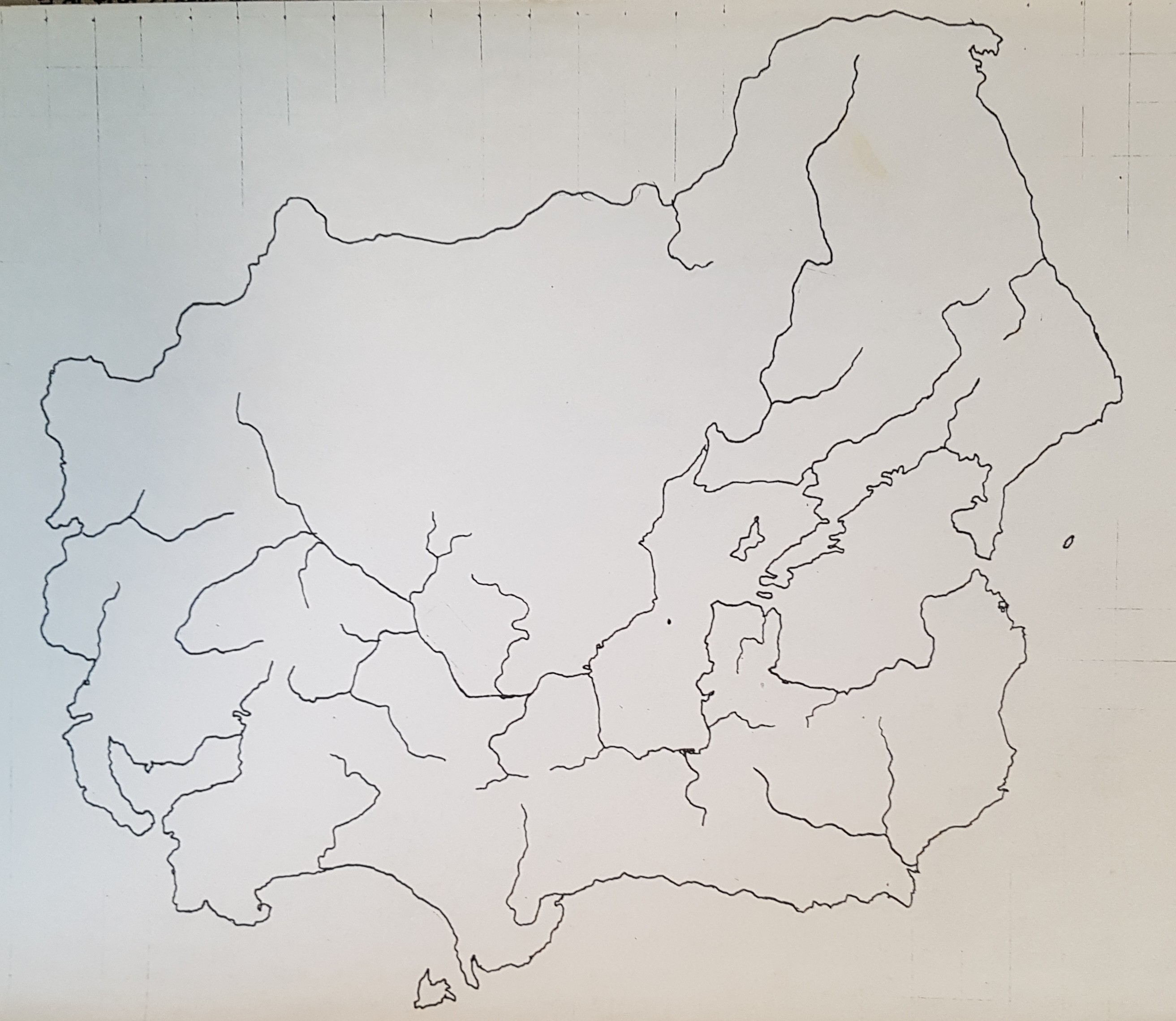
This is the “canonical” map of Tsiqeye (Ciiquia) – the oldest continent on the planet Rahet. I did this in 1980, and took it down to the photocopy shop and made 100 copies, and then drew a “historical” series showing the evolution of borders between nations, empires, tribes – over a 4000 or 5000 year span. I don’t think I preserved those sketches. At the time, I didn’t see them as needing preservation – they were just “work in progress” for the history I was developing. I think I had the idea I was going to produce a historical atlas for Rahet, but these were just preliminary drafts and experiments.
This canonical shape of Tsiqeye is somewhat preserved in recent sketches I’ve done of Rahet (e.g. the online map). The most significant change is in the way the continental landmass extends south to the South Pole. Now that I’ve found this old canonical map, I may try to merge it with the current online version (which was drawn from memory before I found all my old paper maps).

