My Paper Geofiction #31

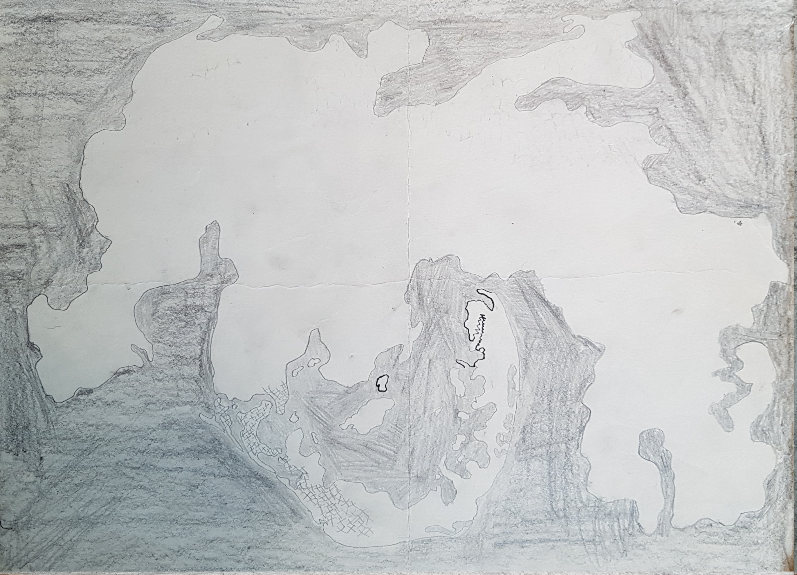
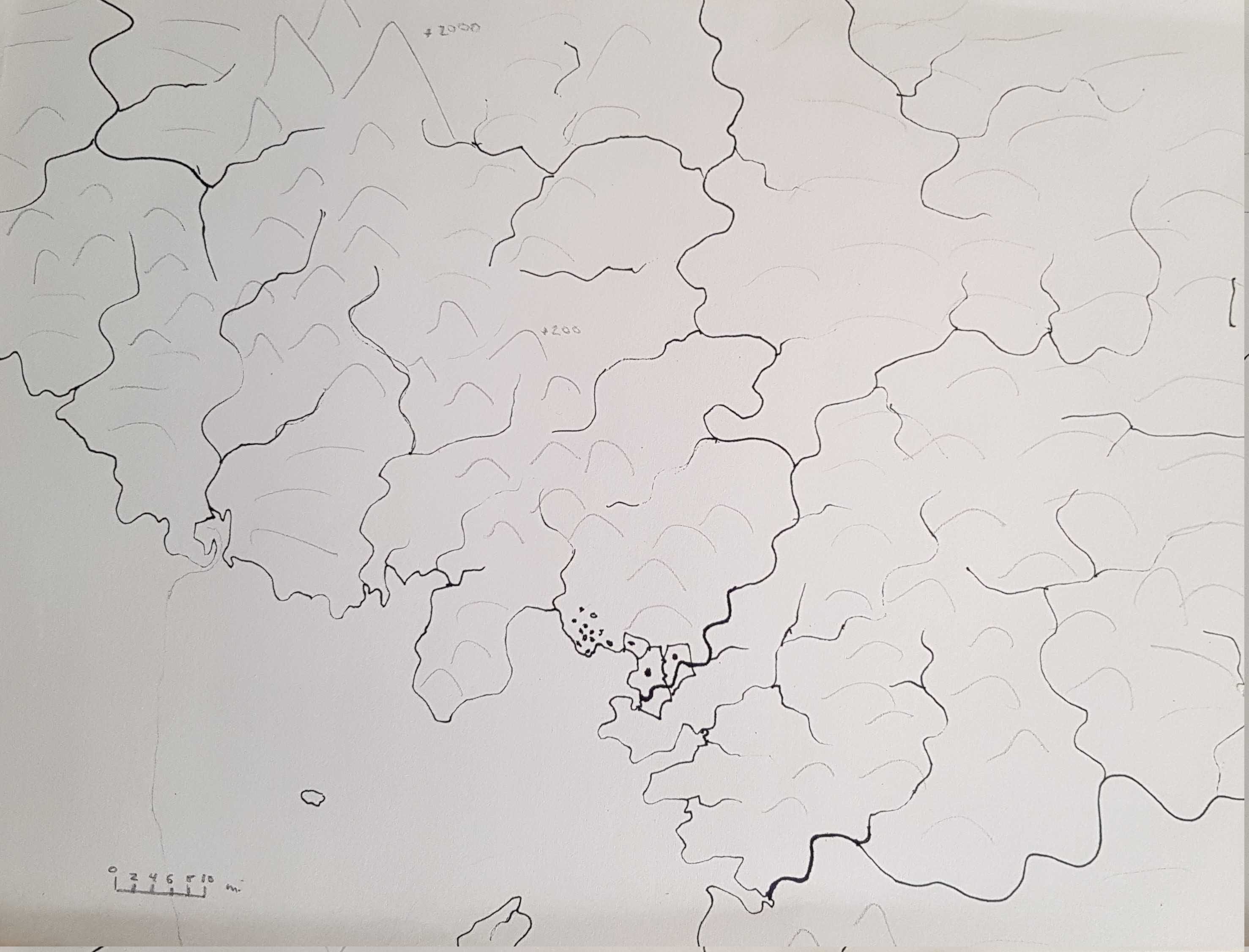
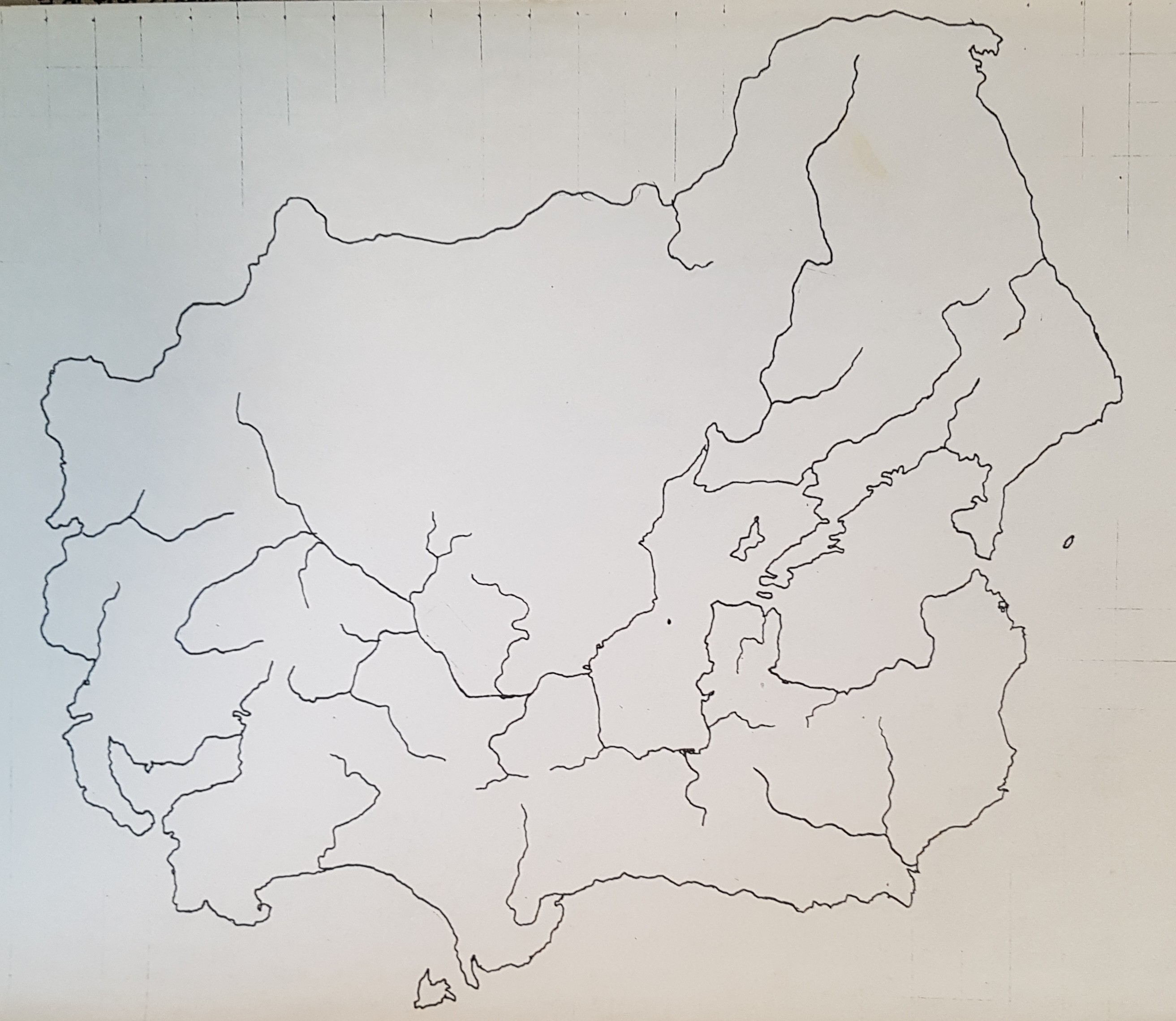
This is the “canonical” map of Tsiqeye (Ciiquia) – the oldest continent on the planet Rahet. I did this in 1980, and took it down to the photocopy shop and made 100 copies, and then drew a “historical” series showing the evolution of borders between nations, empires, tribes – over a 4000 or 5000 year span. I don’t think I preserved those sketches. At the time, I didn’t see them as needing preservation – they were just “work in progress” for the history I was developing. I think I had the idea I was going to produce a historical atlas for Rahet, but these were just preliminary drafts and experiments.

This canonical shape of Tsiqeye is somewhat preserved in recent sketches I’ve done of Rahet (e.g. the online map). The most significant change is in the way the continental landmass extends south to the South Pole. Now that I’ve found this old canonical map, I may try to merge it with the current online version (which was drawn from memory before I found all my old paper maps).
picture

My Paper Geofiction #30

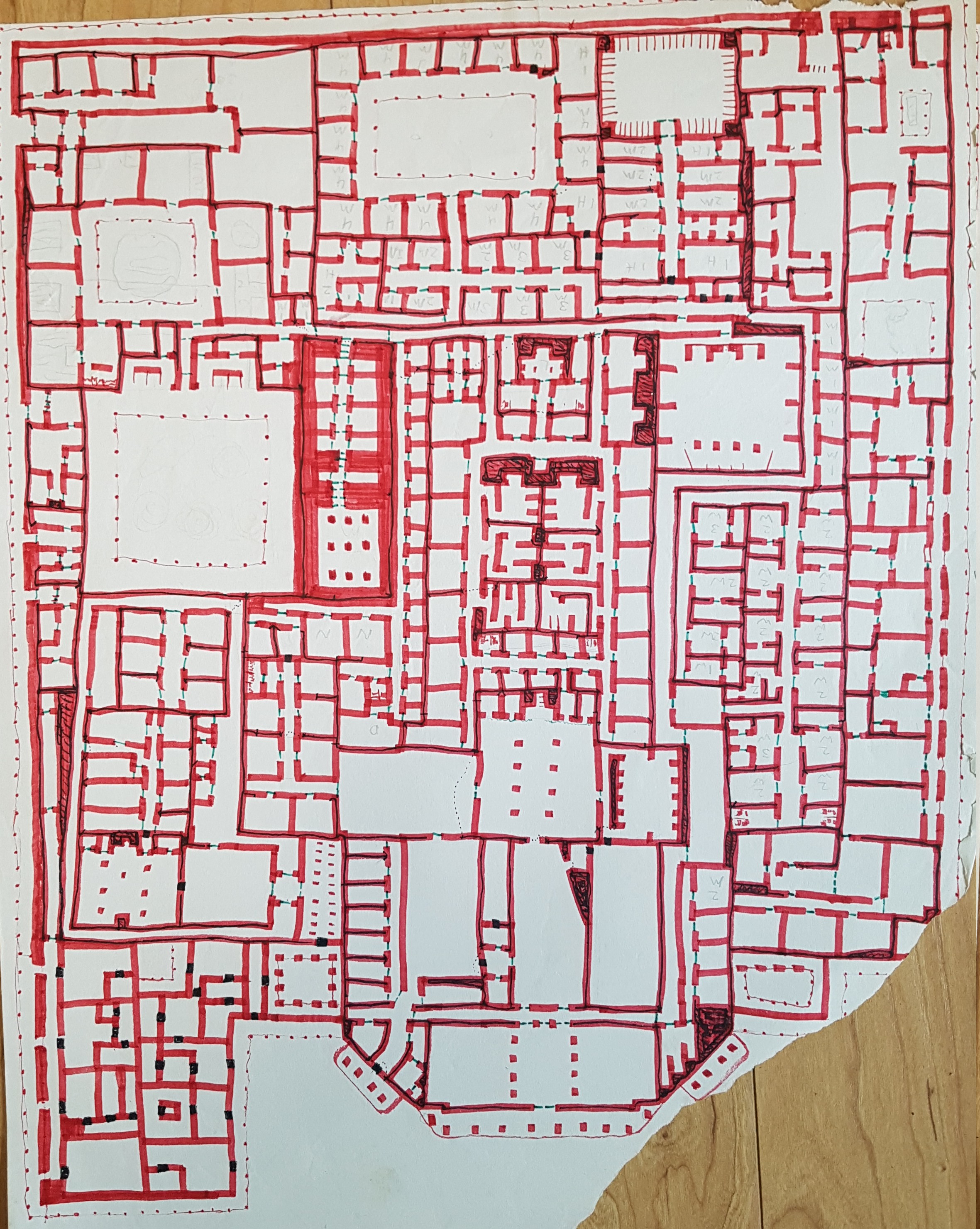
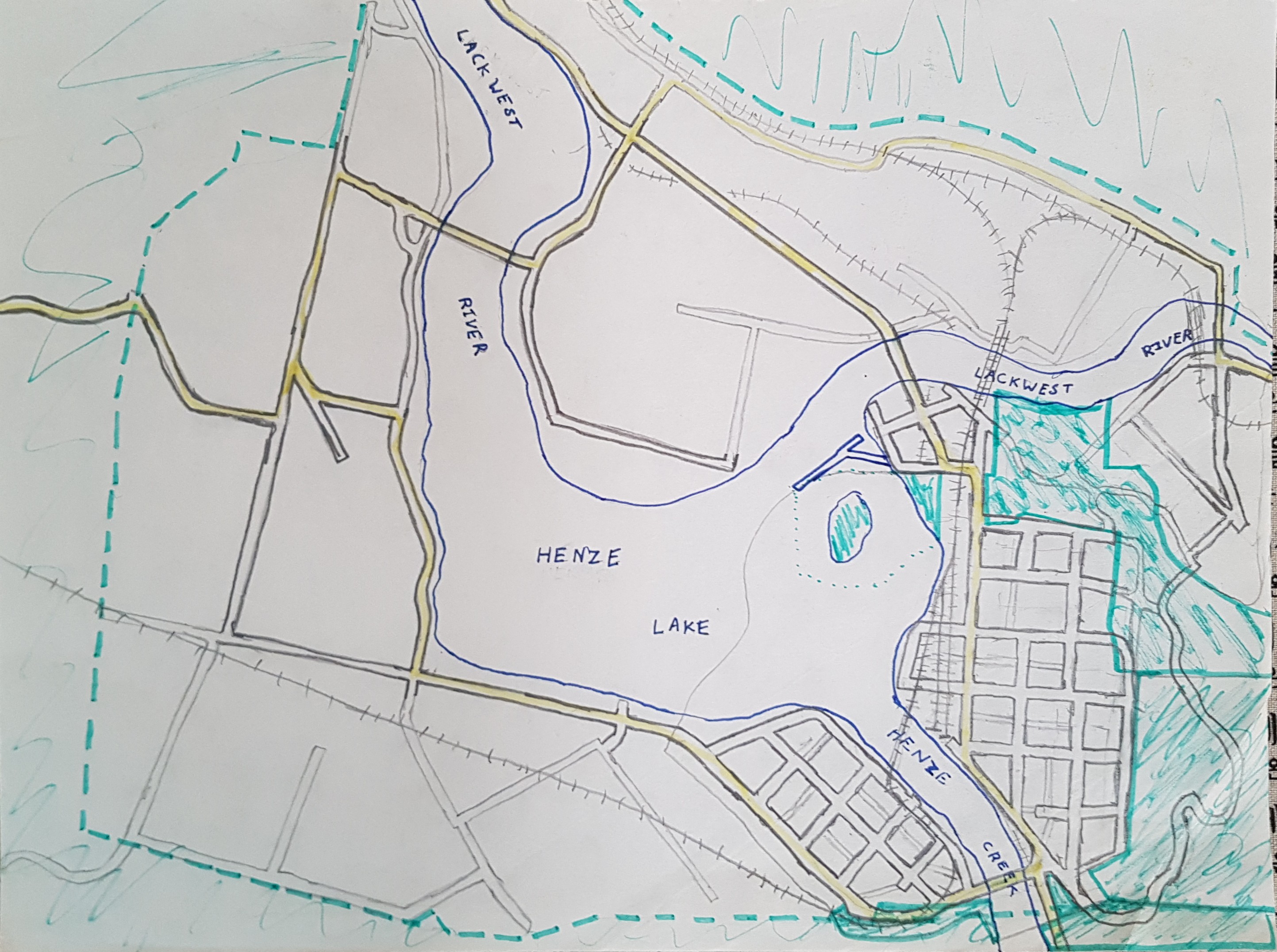
This is rather impressionistic map of a continent that was clearly never finished. I can’t even guess a date, but would estimate middle school or high school. I don’t what name it might have had – or if it even had one at all.

picture

My Paper Geofiction #28

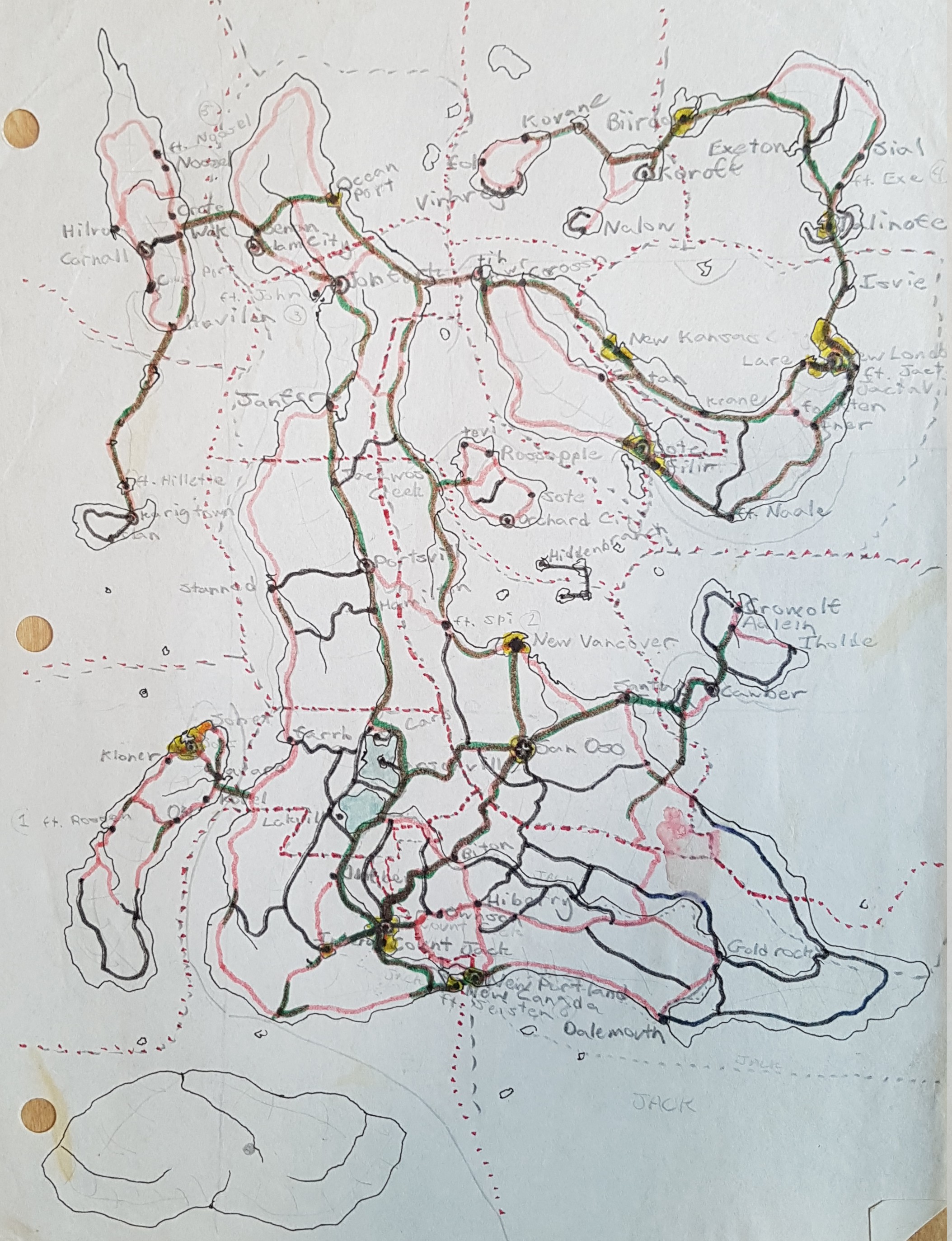
This is a quite early map. I’m guessing 1975 or 76, based on some of the place names – for “New Vancouver”, “Koroff”, and “San Oso” (Saint Bear! Hah…) I remember attempting city maps as well.

I have a vague memory of perhaps working on this map during a road trip. The paper on clipboard or something, on my lap, and markers at my side, letting the vibration of the road influence the coastlines.

picture

My Paper Geofiction #27

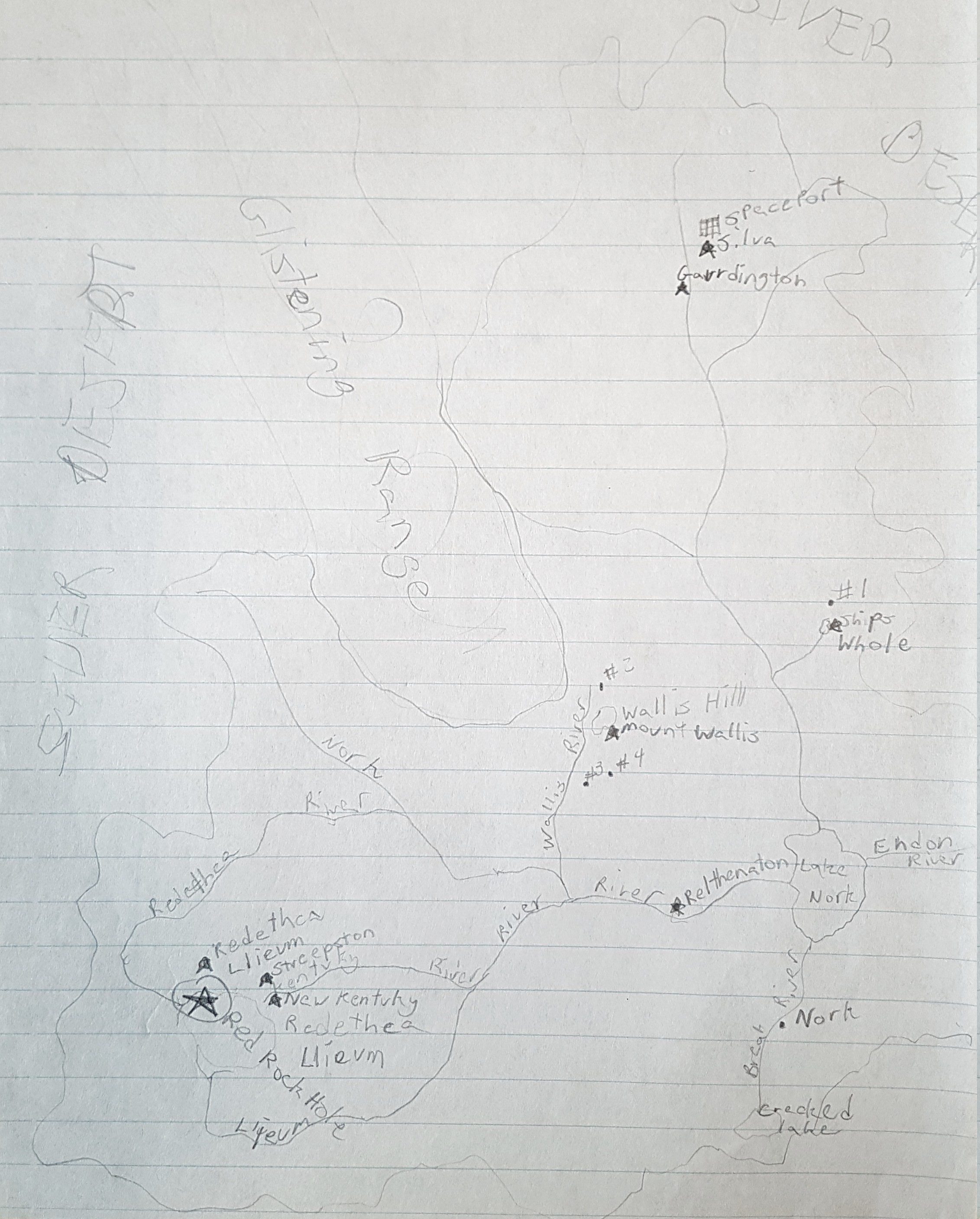
This is a very notable map, despite its poor quality. This is a historical map of Rahet. The story about Rahet is that it was colonized by refugees from Earth. When those refugees first landed, they found a lifeless, desert planet (like Mars) that needed to be terraformed. Most Rahet maps are set 10000 years in the future relative to initial colonization. This map is from the period during early terraforming. The names of places are still English-based (rather than the evolved languages that I imagined for the planet’s far future), but the geography is recognizably the “oldest” continent (earliest settled) on Rahet – Tsiqeye (also called Ciiquia).

I had this entire history worked out by the time I finished middle school. So I expect this map was drawn in maybe 1978.

Note the place called Nork. It’s deep in the desert here, but later incarnations have it on the coastline of the sea that Lake Nork evolves into. I would be interested to try an overlay series sometime – Rahet pre-Terraforming, through to the modern continent shapes.

picture

My Paper Geofiction #24

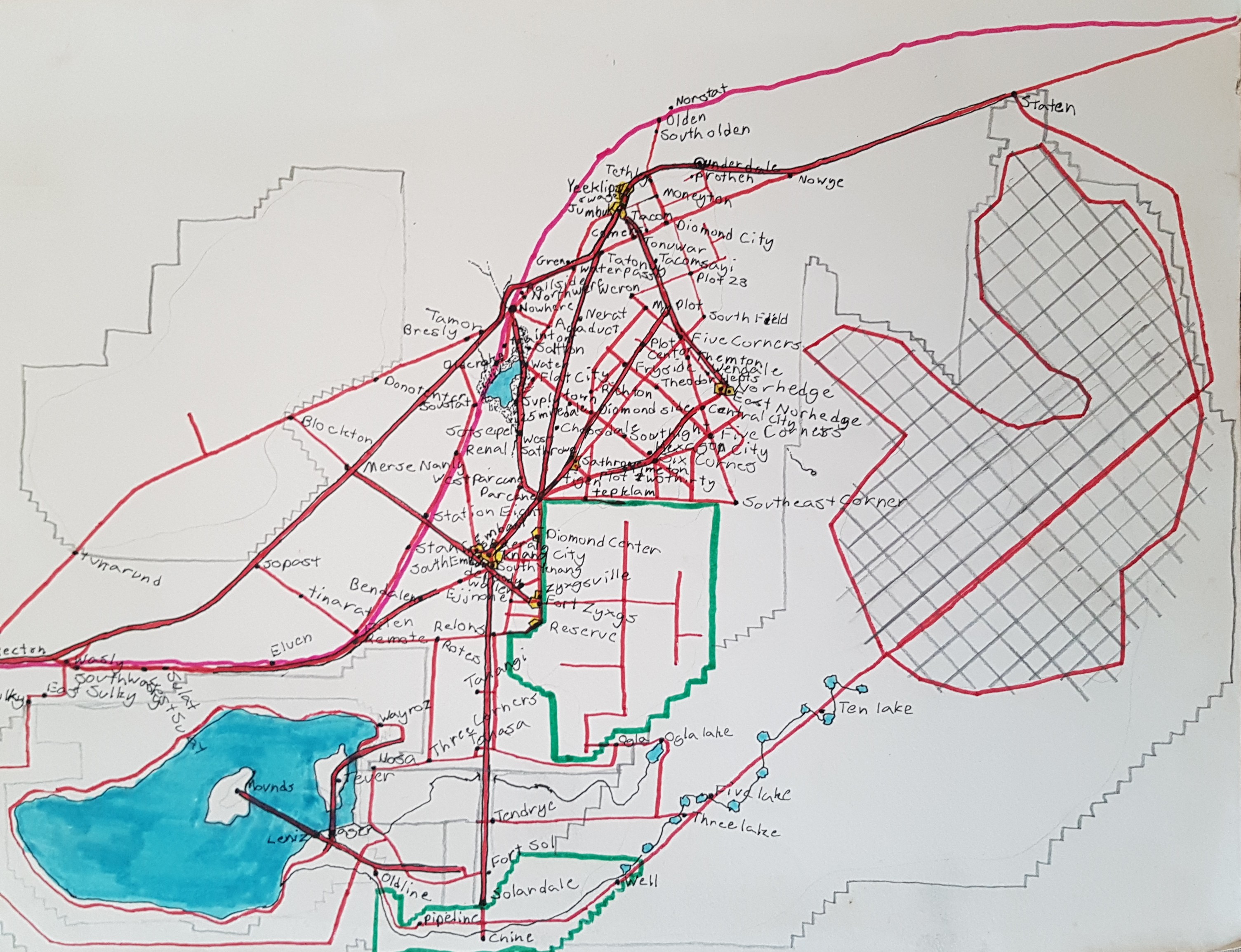
This is another map of an imaginary intermountain state, something based on driving too often with my family across Nevada. I don’t know what that grid on the right was supposed to be – perhaps some kind of military installation? I would date this to 1976.

picture

My Paper Geofiction #23

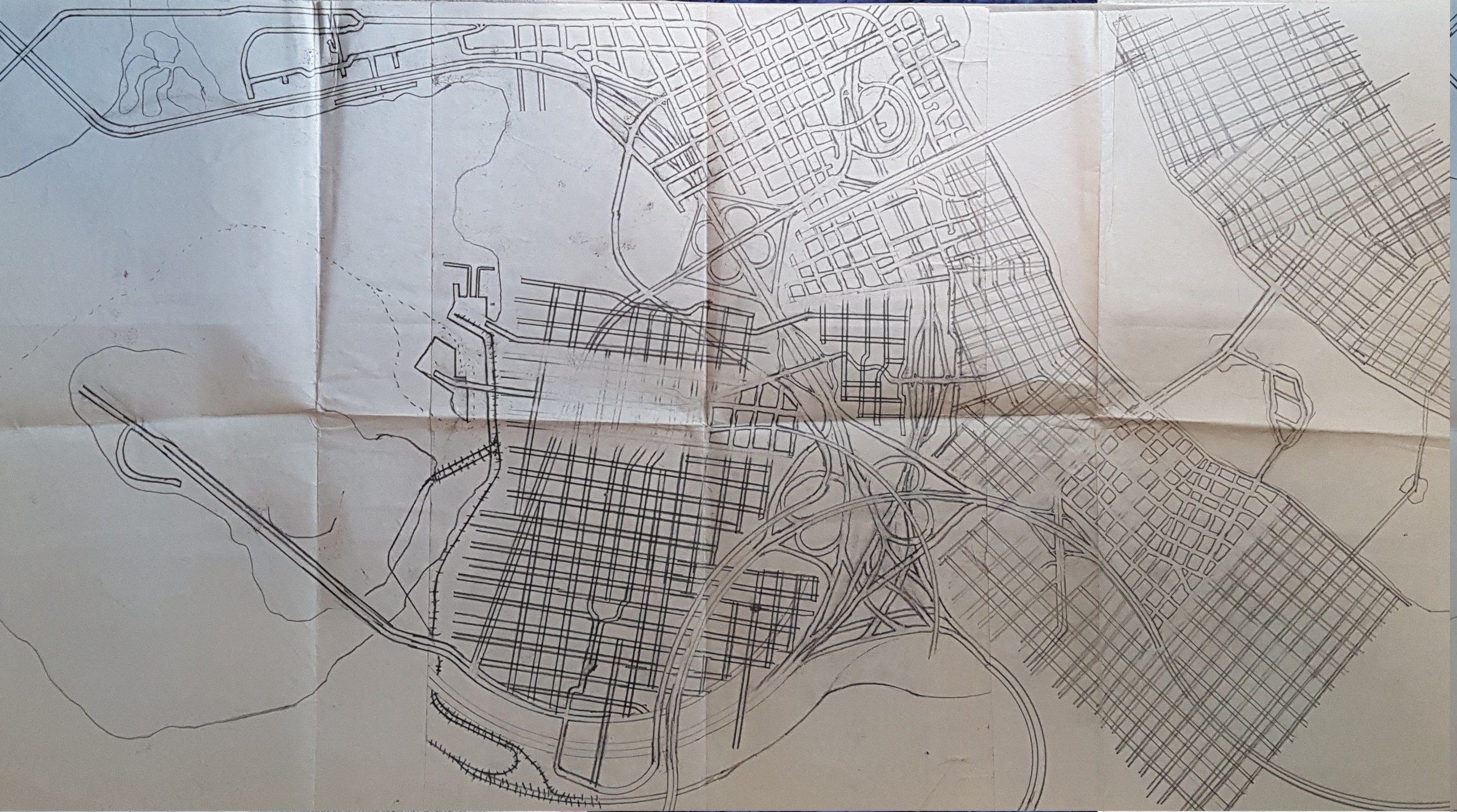
This is just a bunch of grids and freeways in the style I developed in late elementary school: draw parallel lines and then painstakingly erase all the intersections so you get that nice street-width effect. Maybe 1975?

picture